
Laugavegur Trail – This route was included in the list of “20 best hiking routes in the world” by National Geographic. Laugavegur is located in the southwestern part of the country, is about 55 km long. It is usually completed in 4 days.
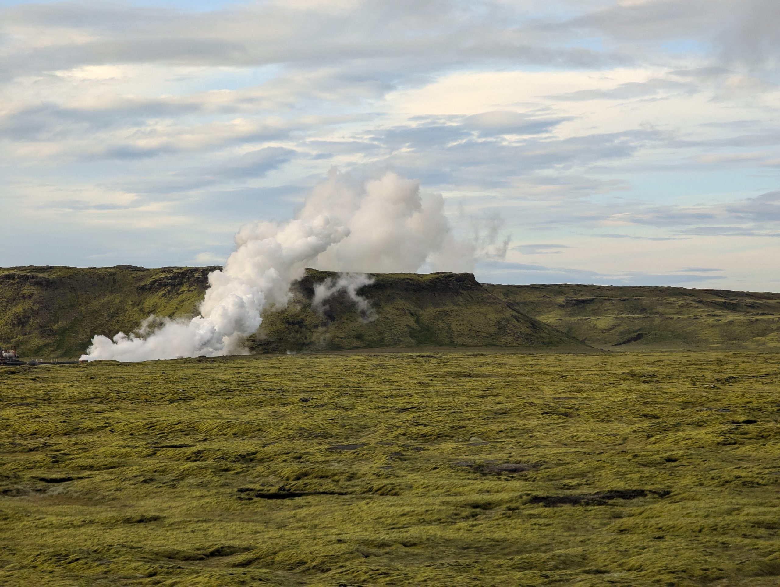
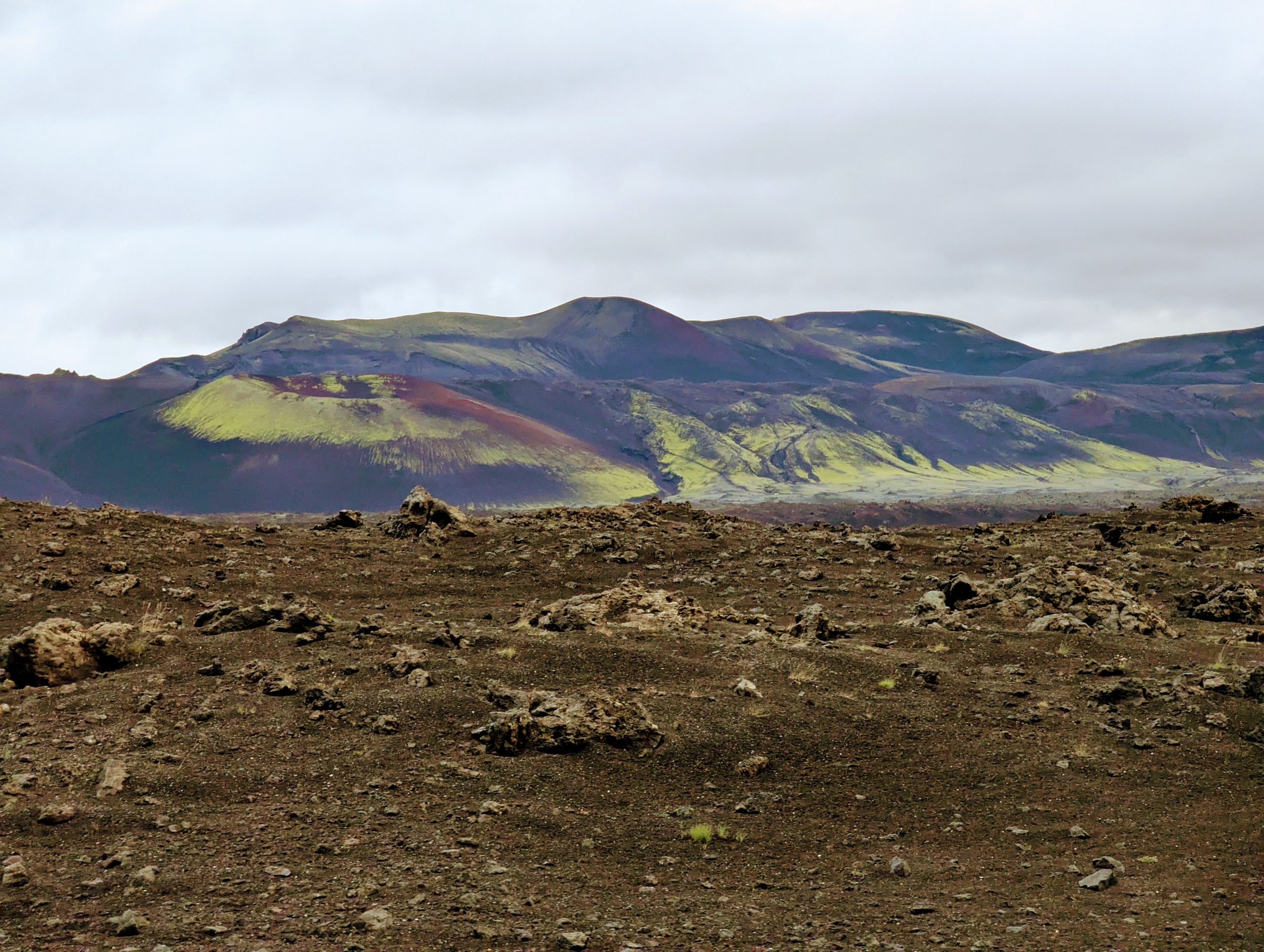
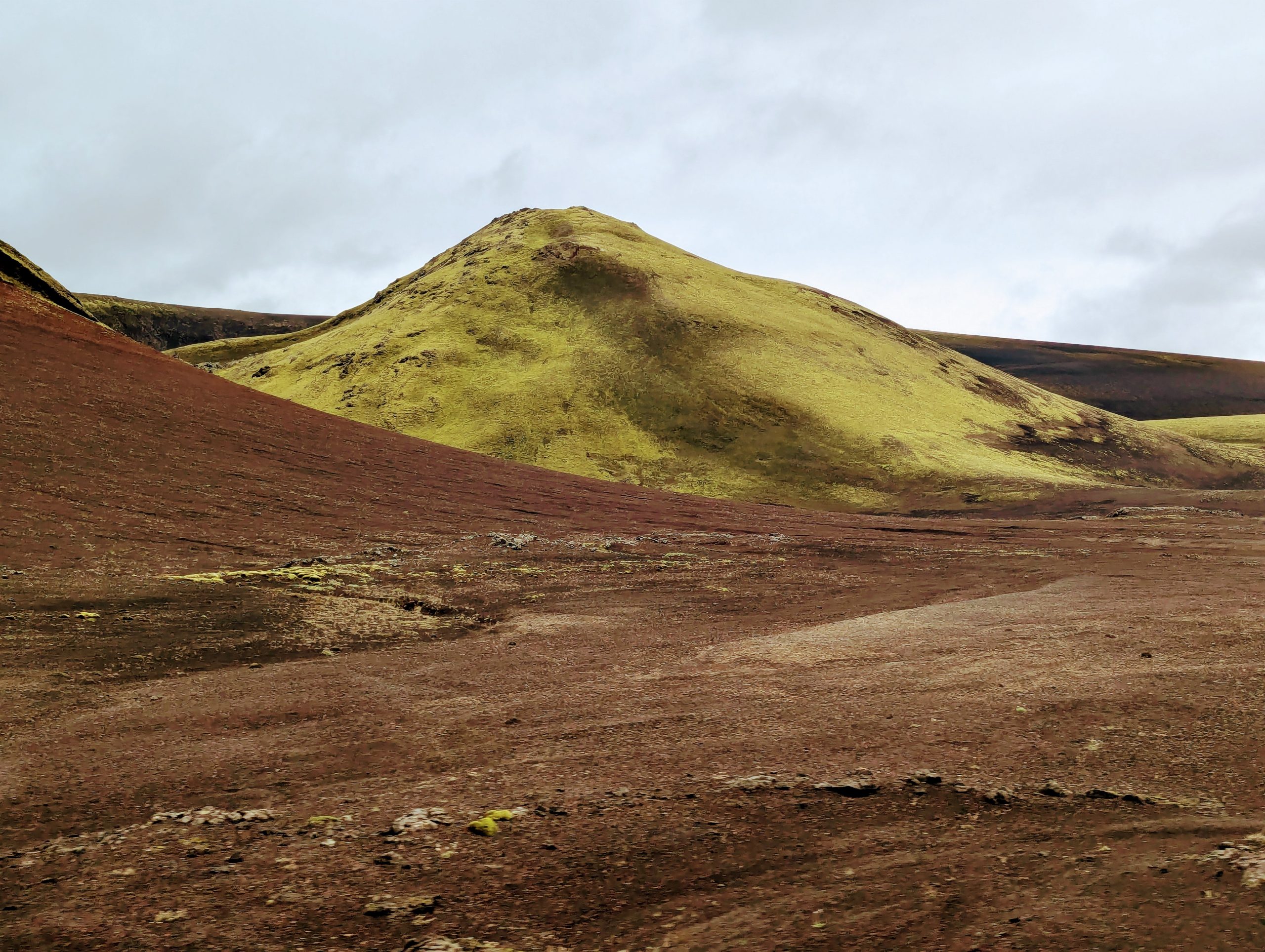
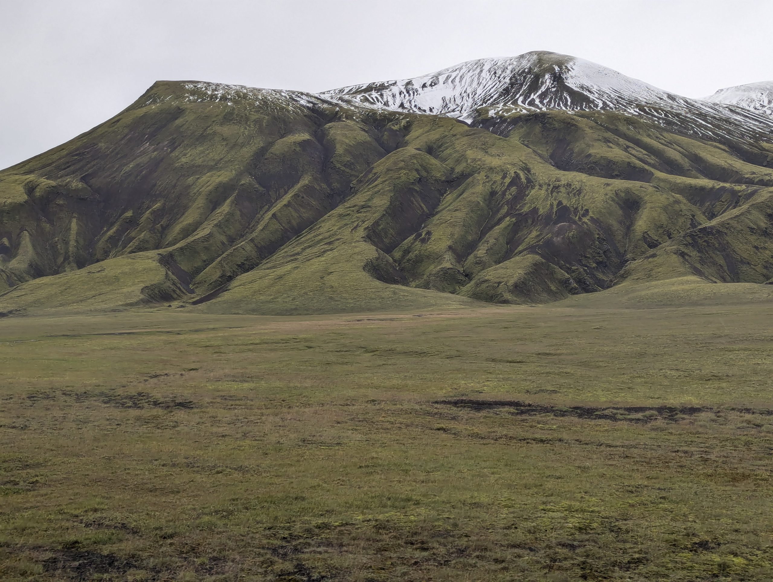
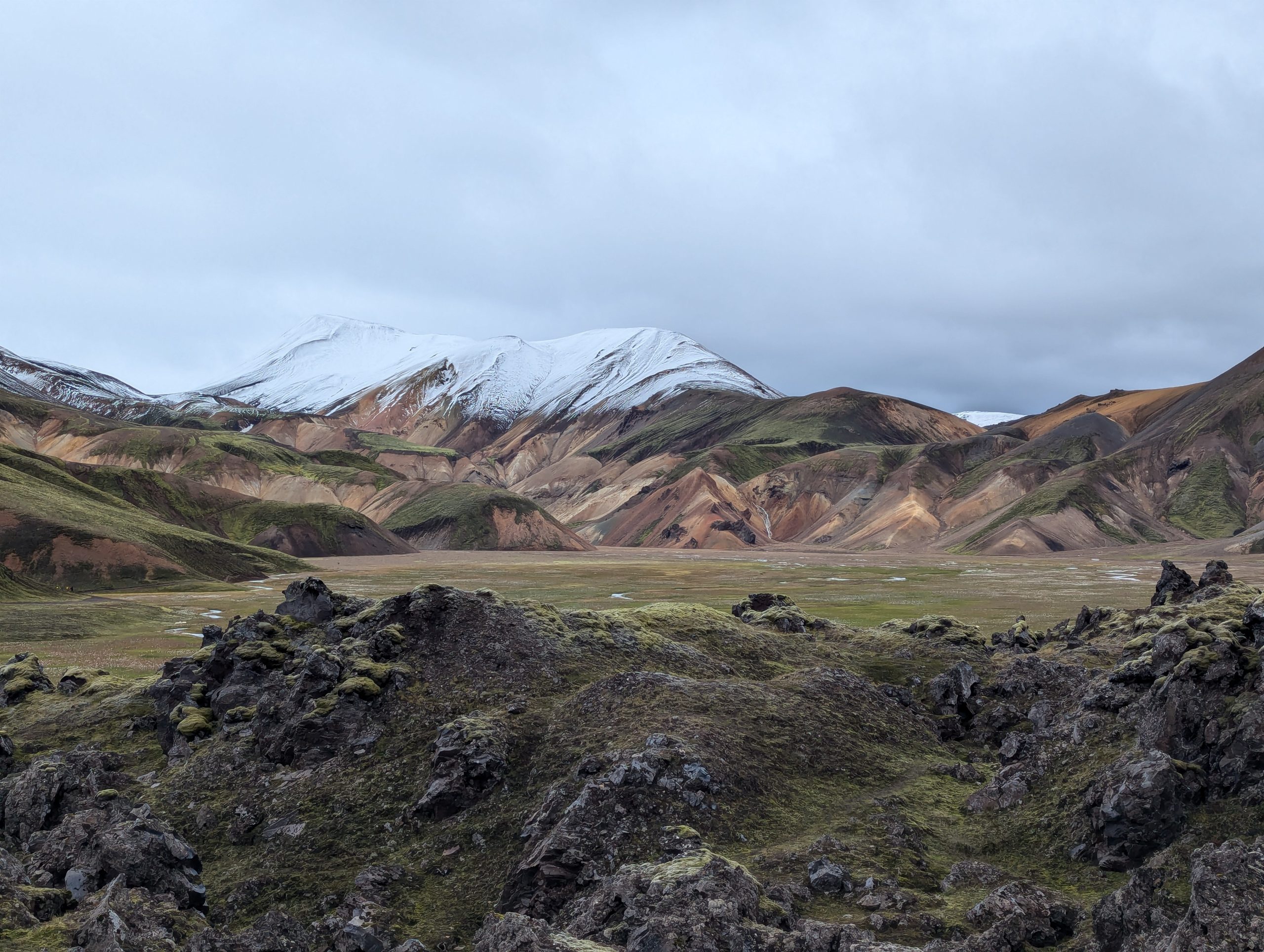
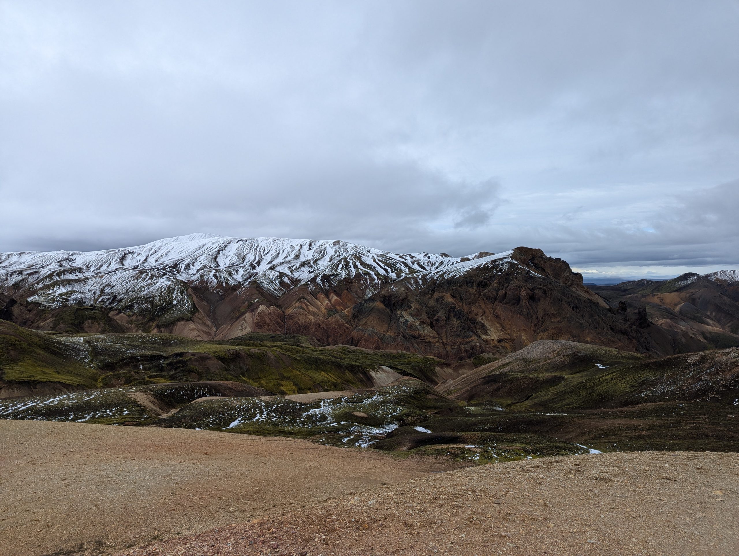
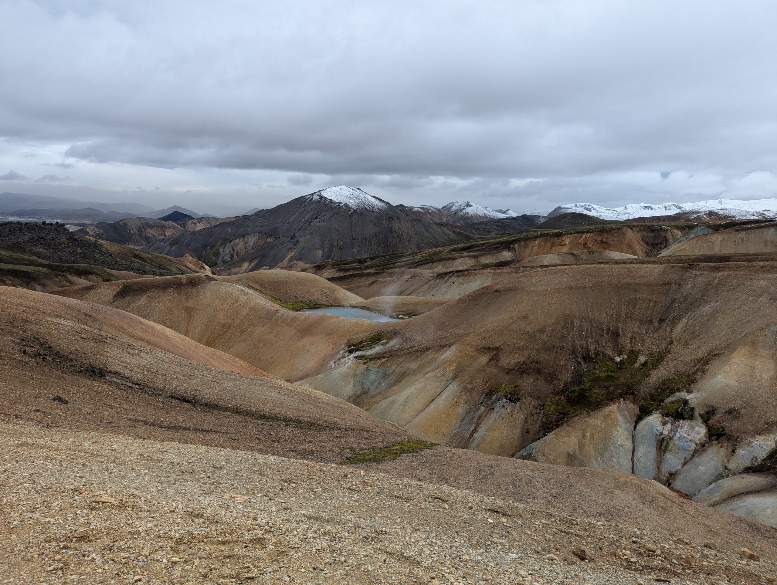
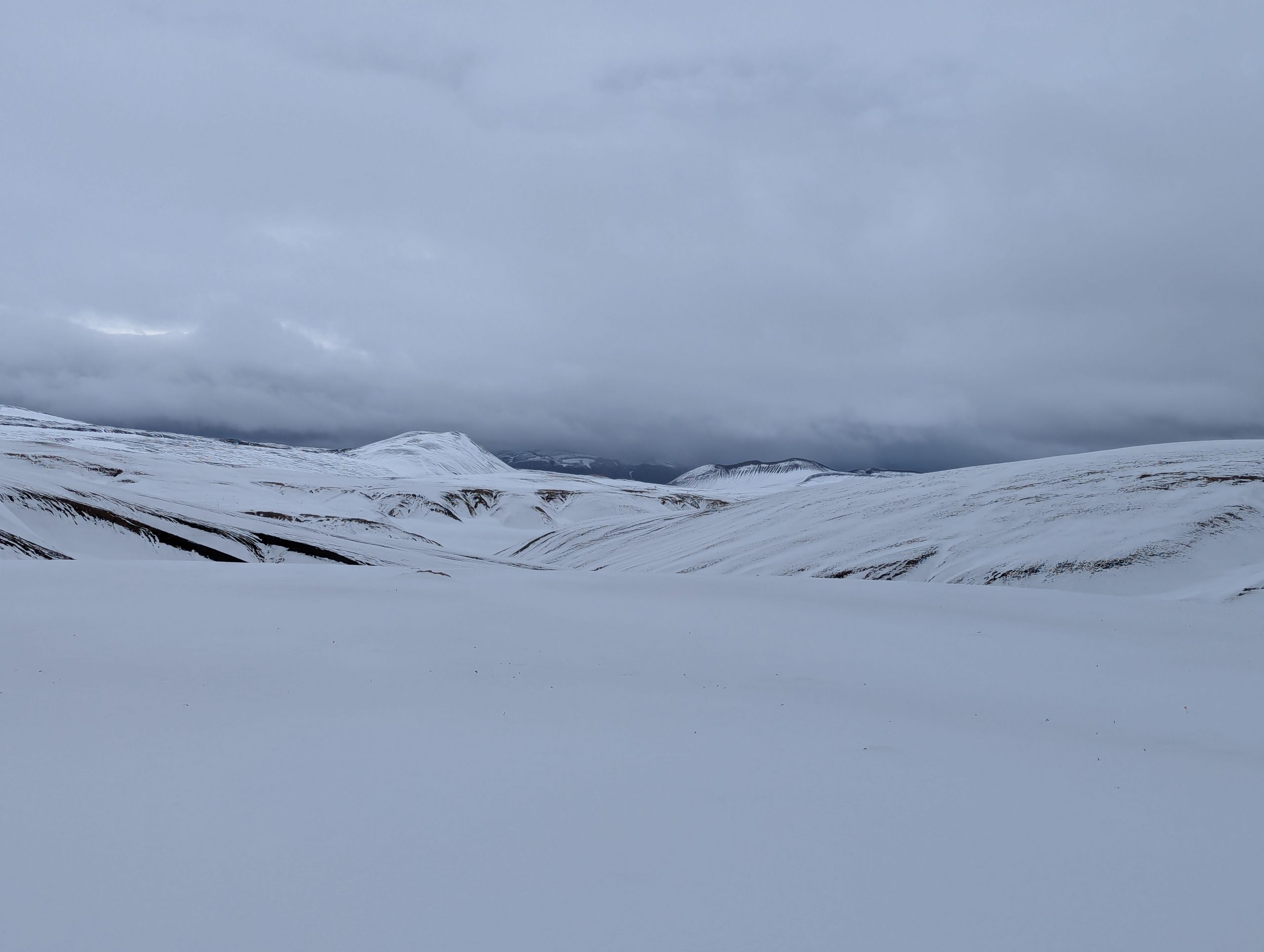
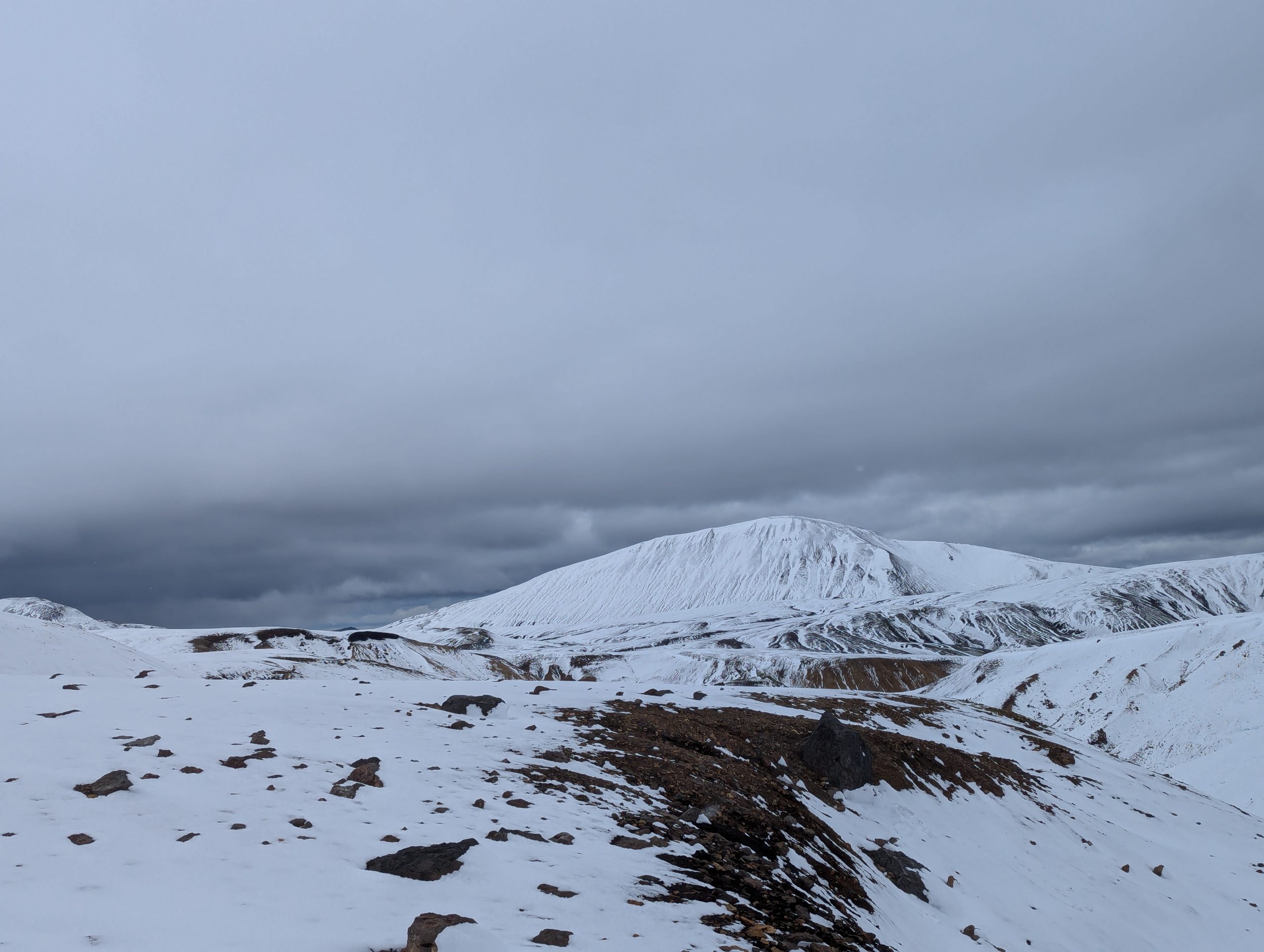
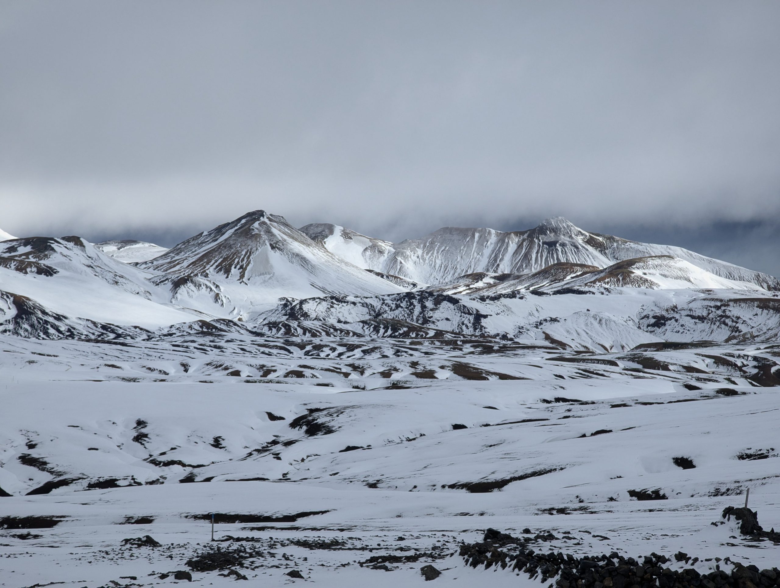
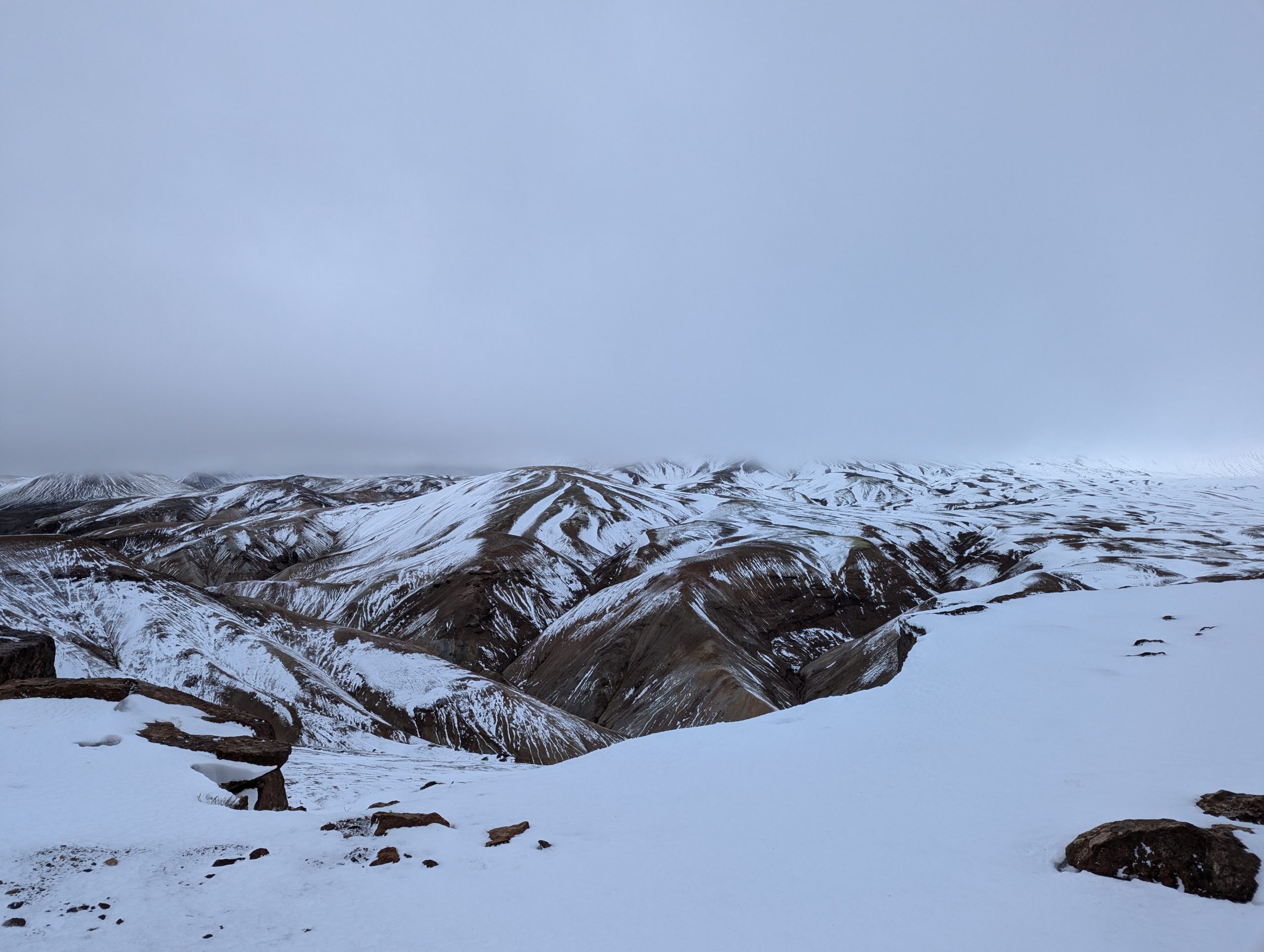
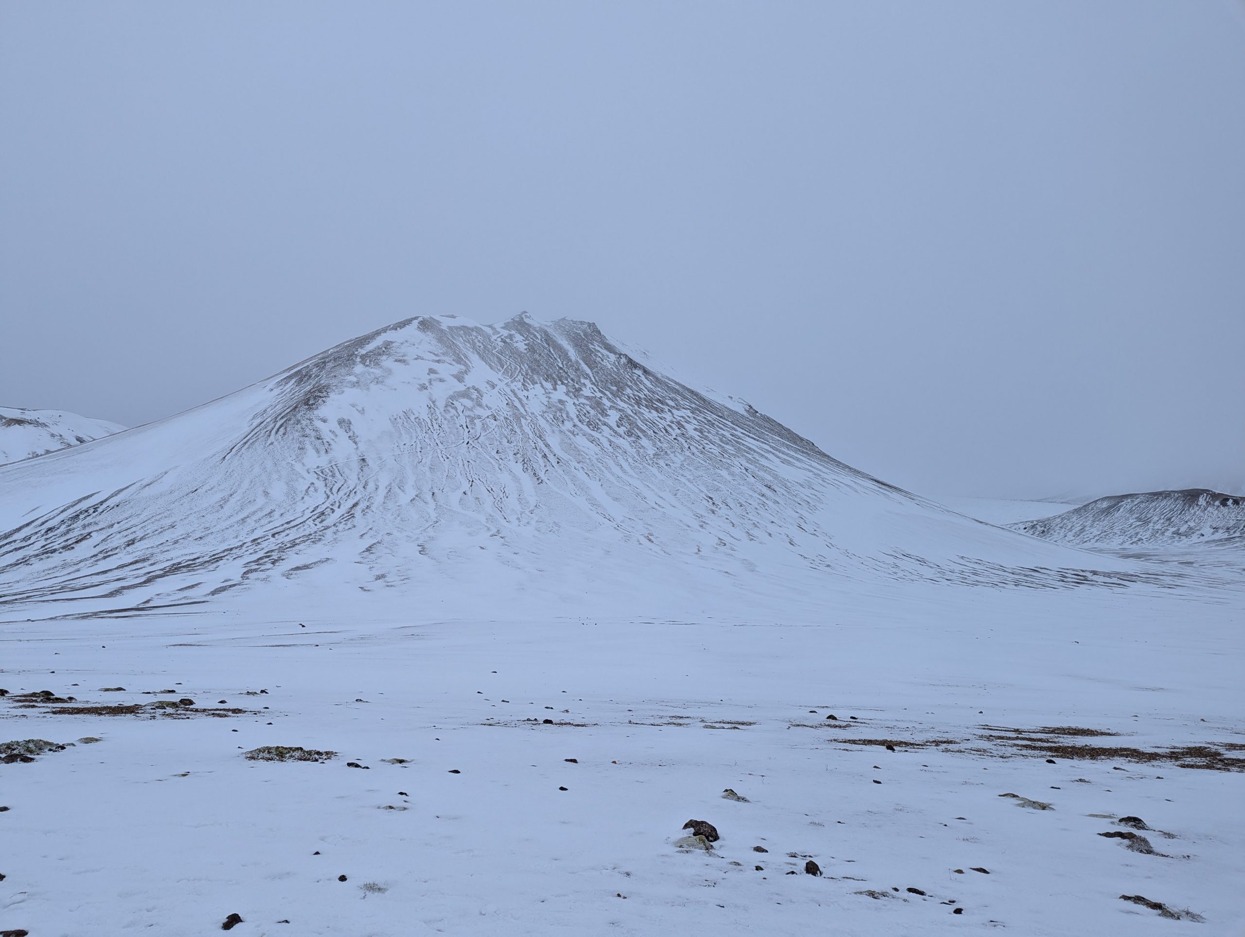
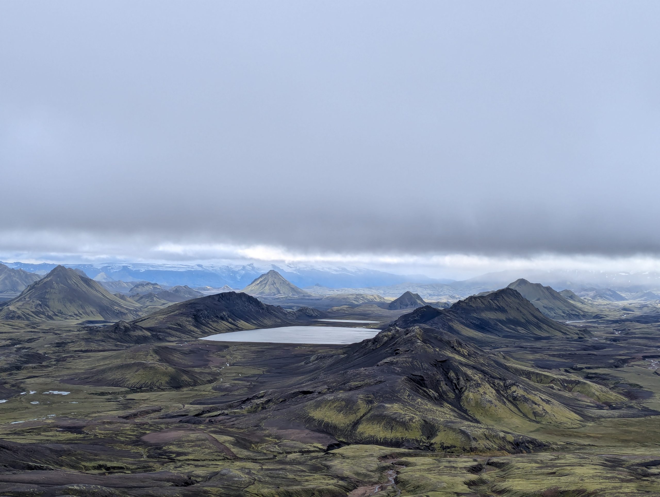
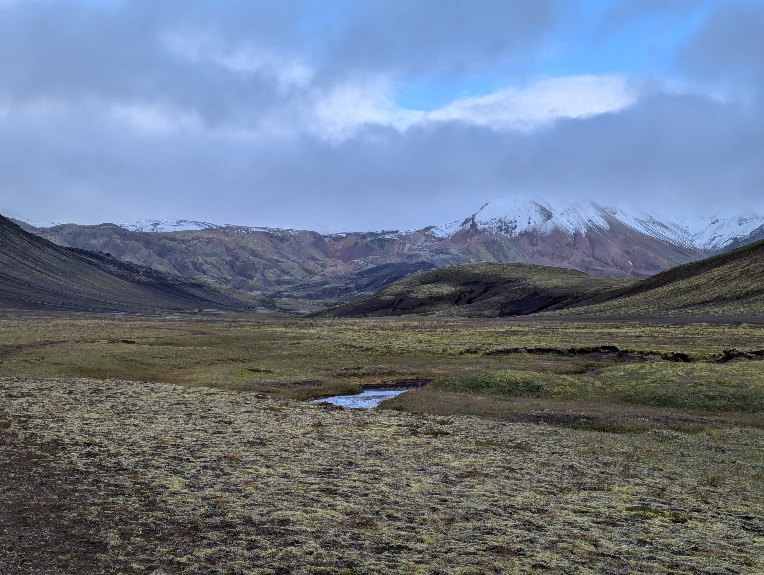
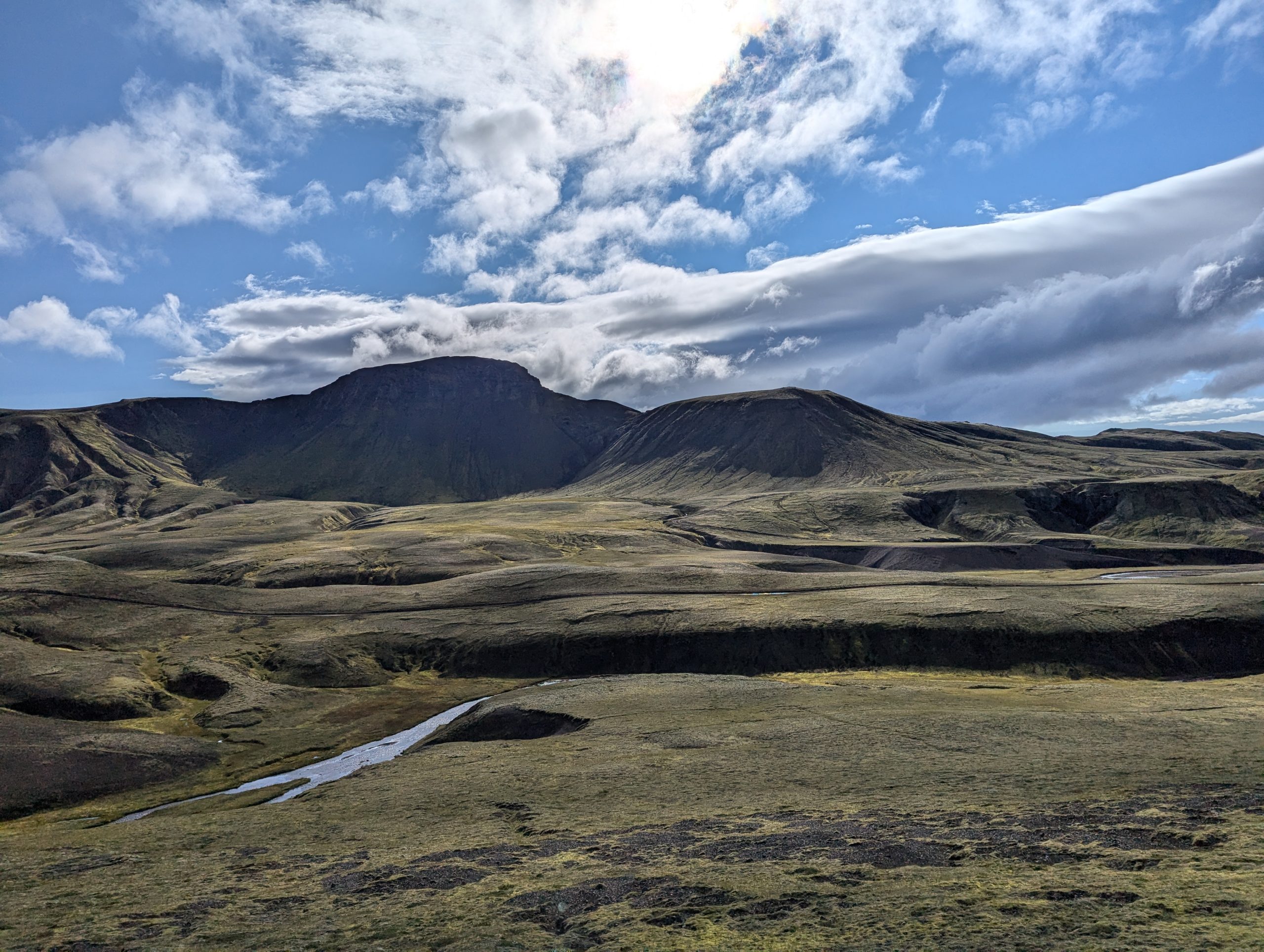
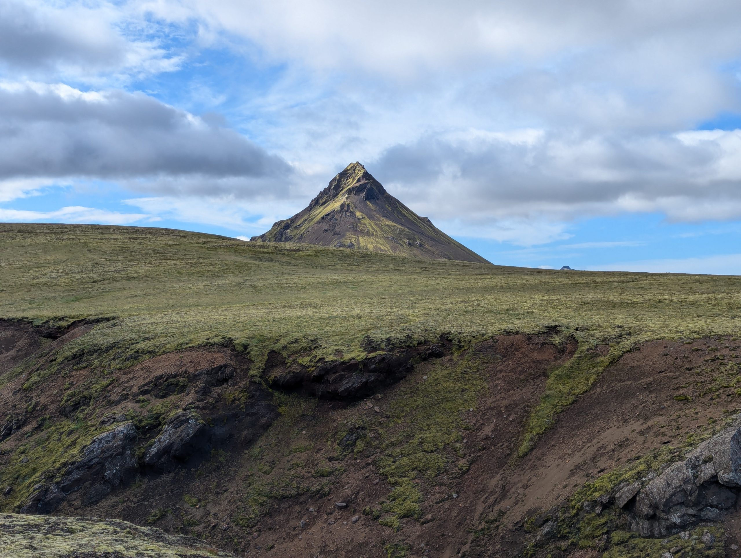
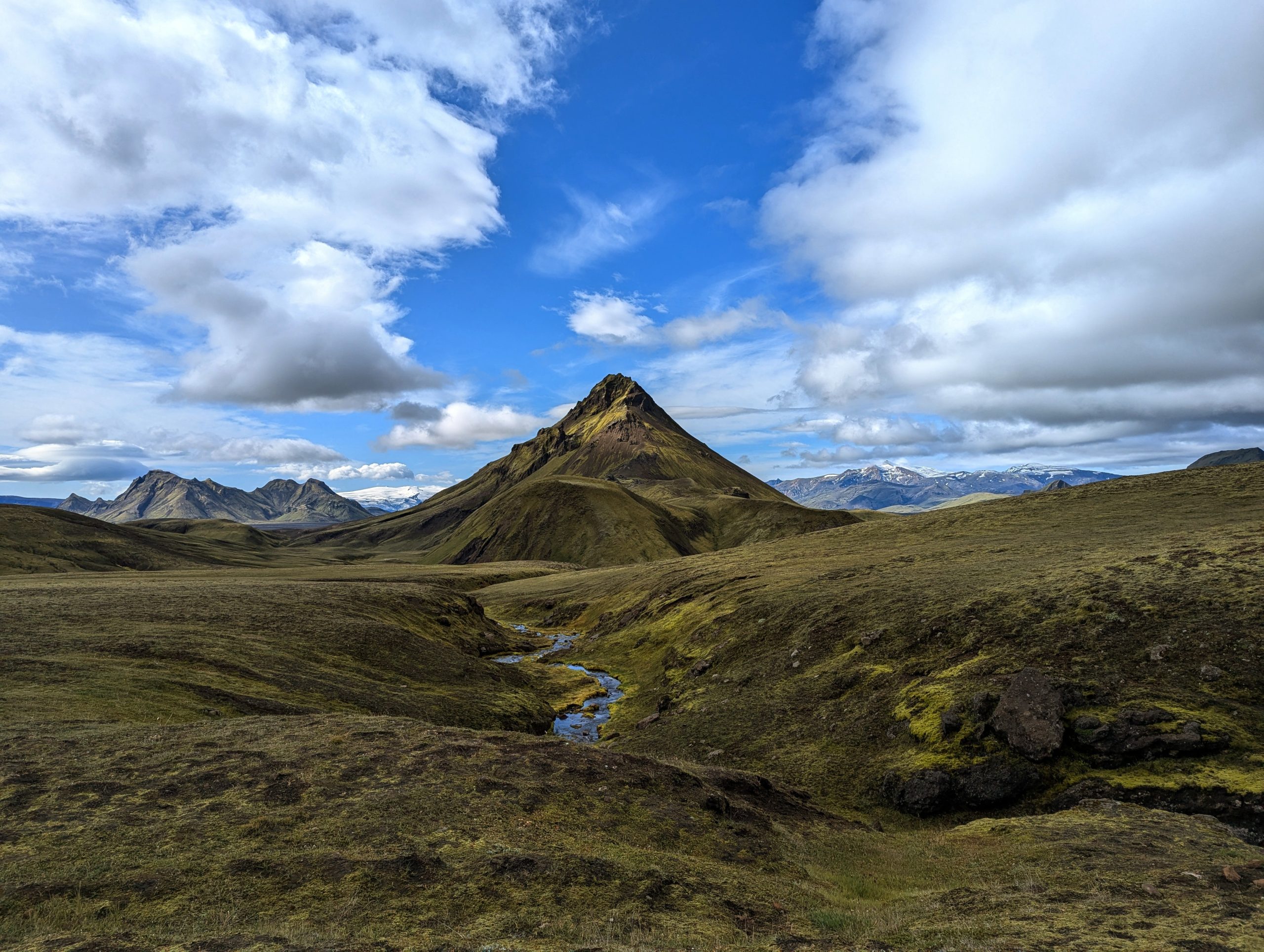
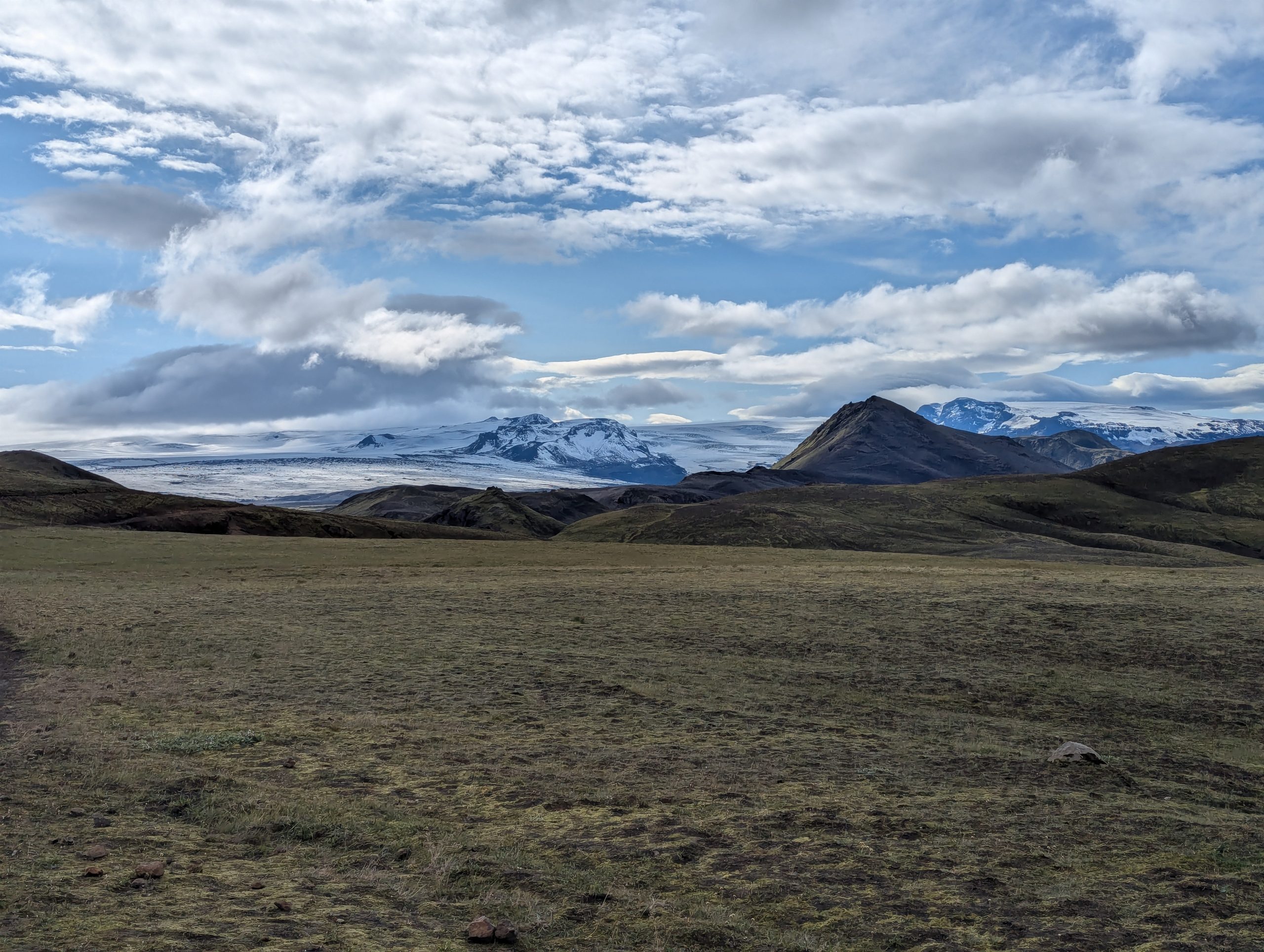
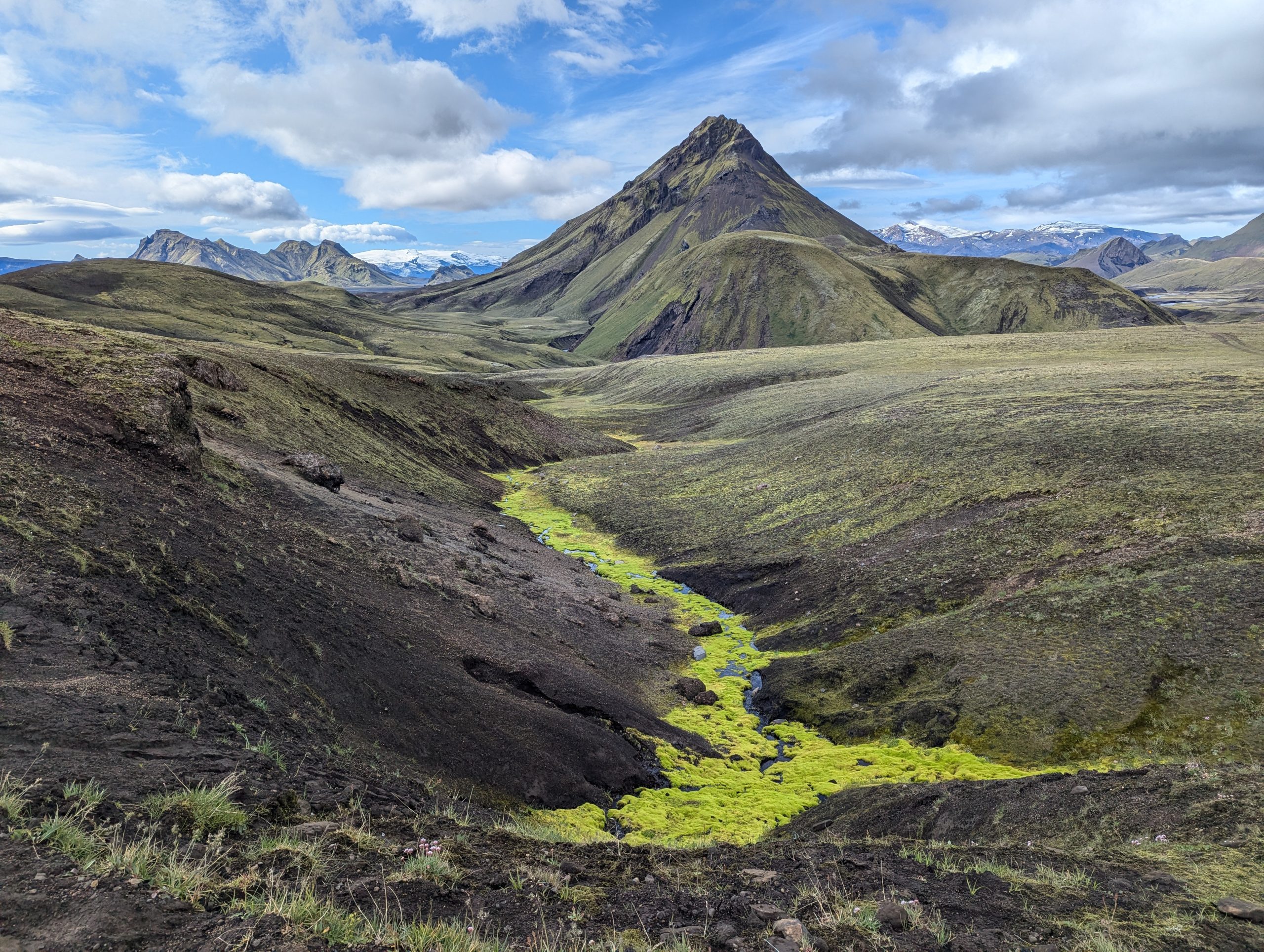
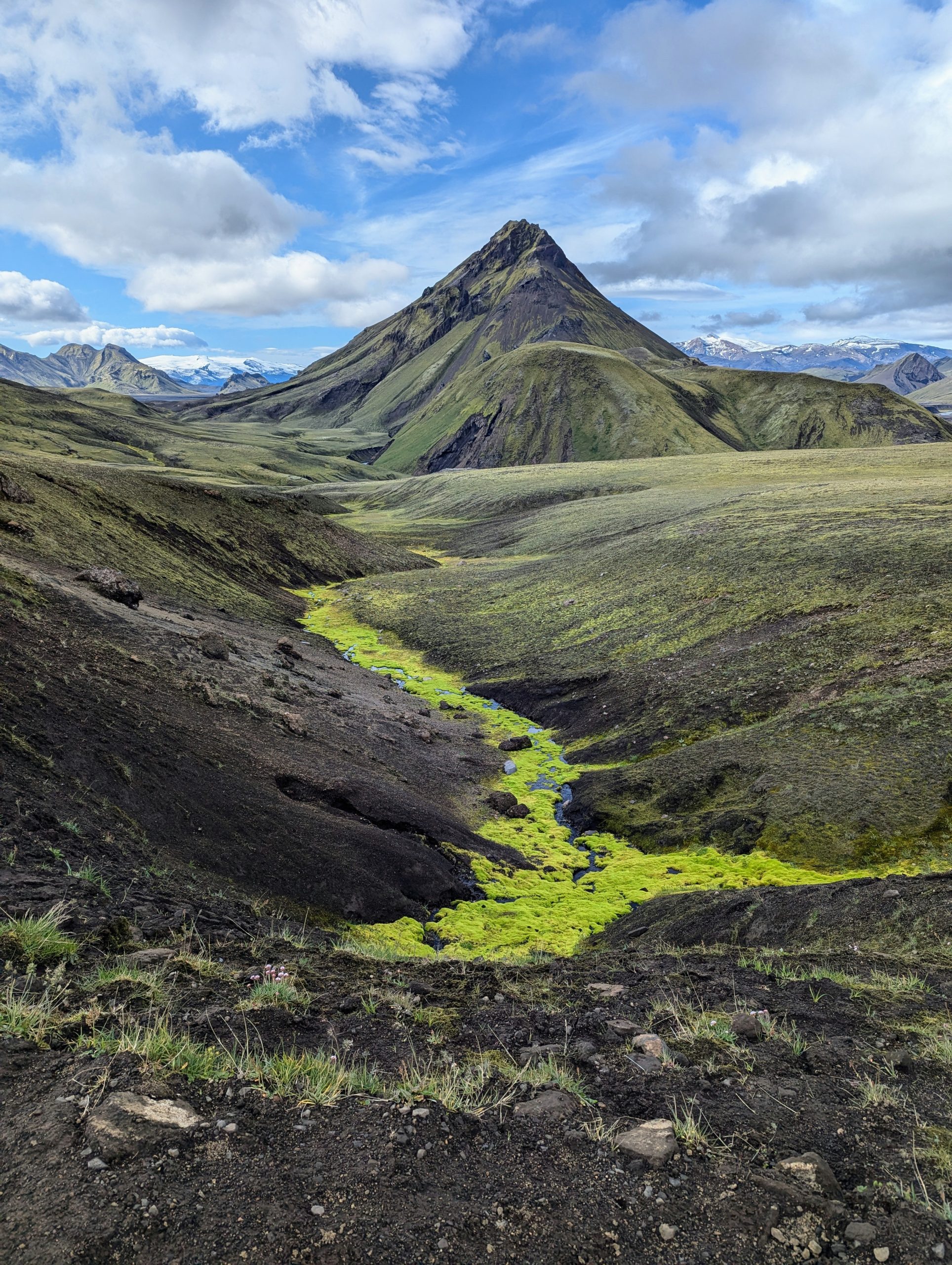
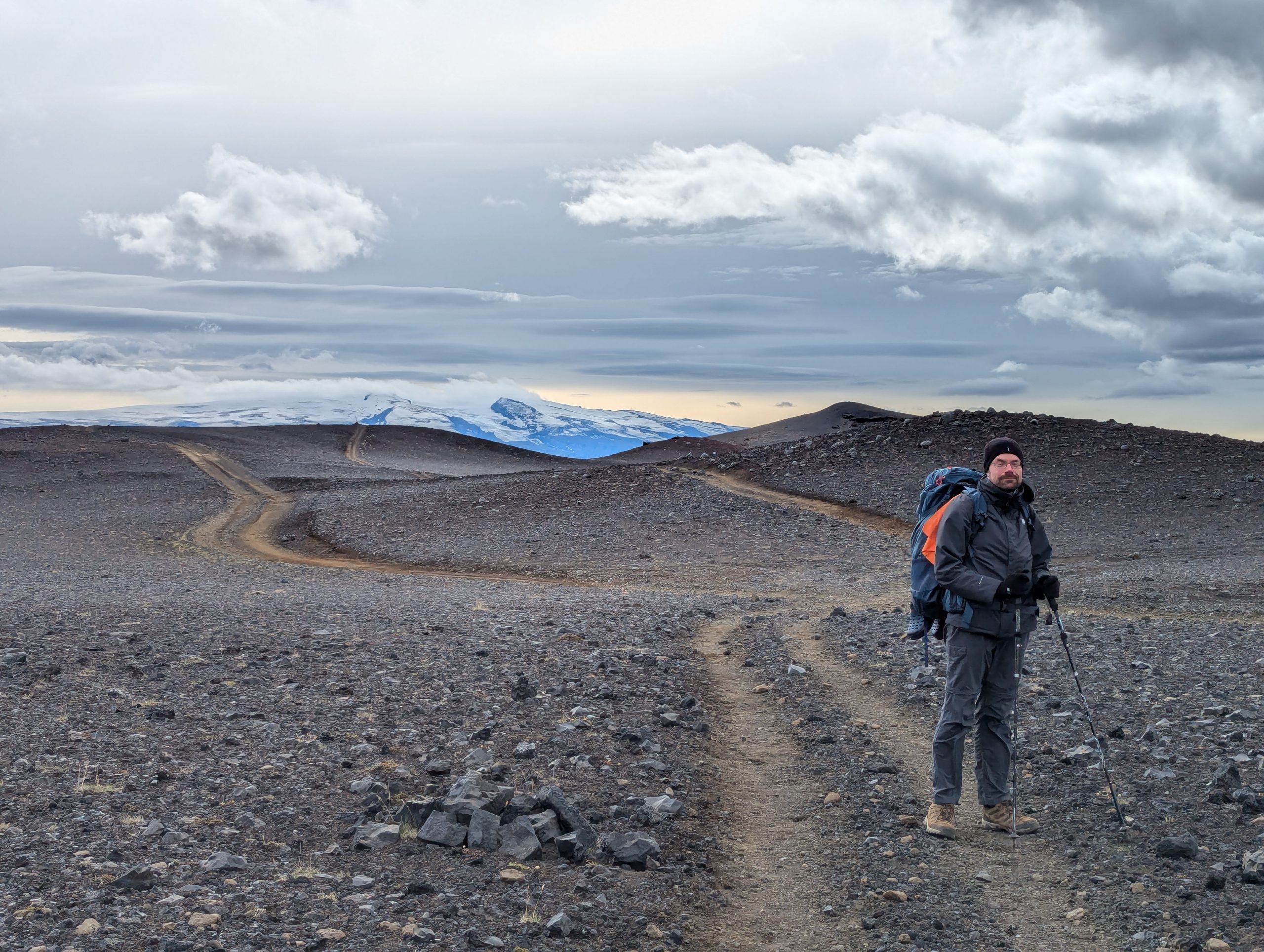
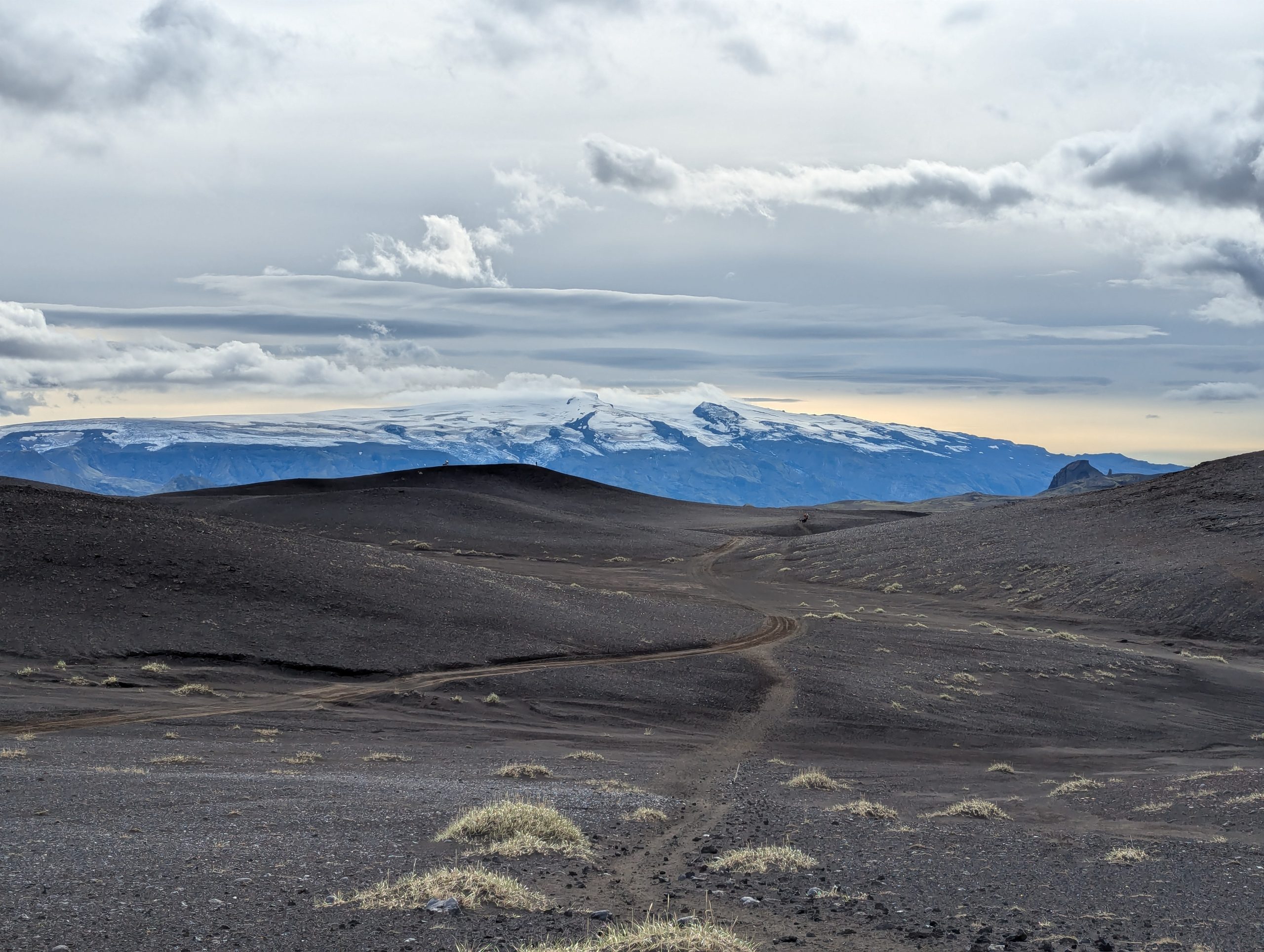
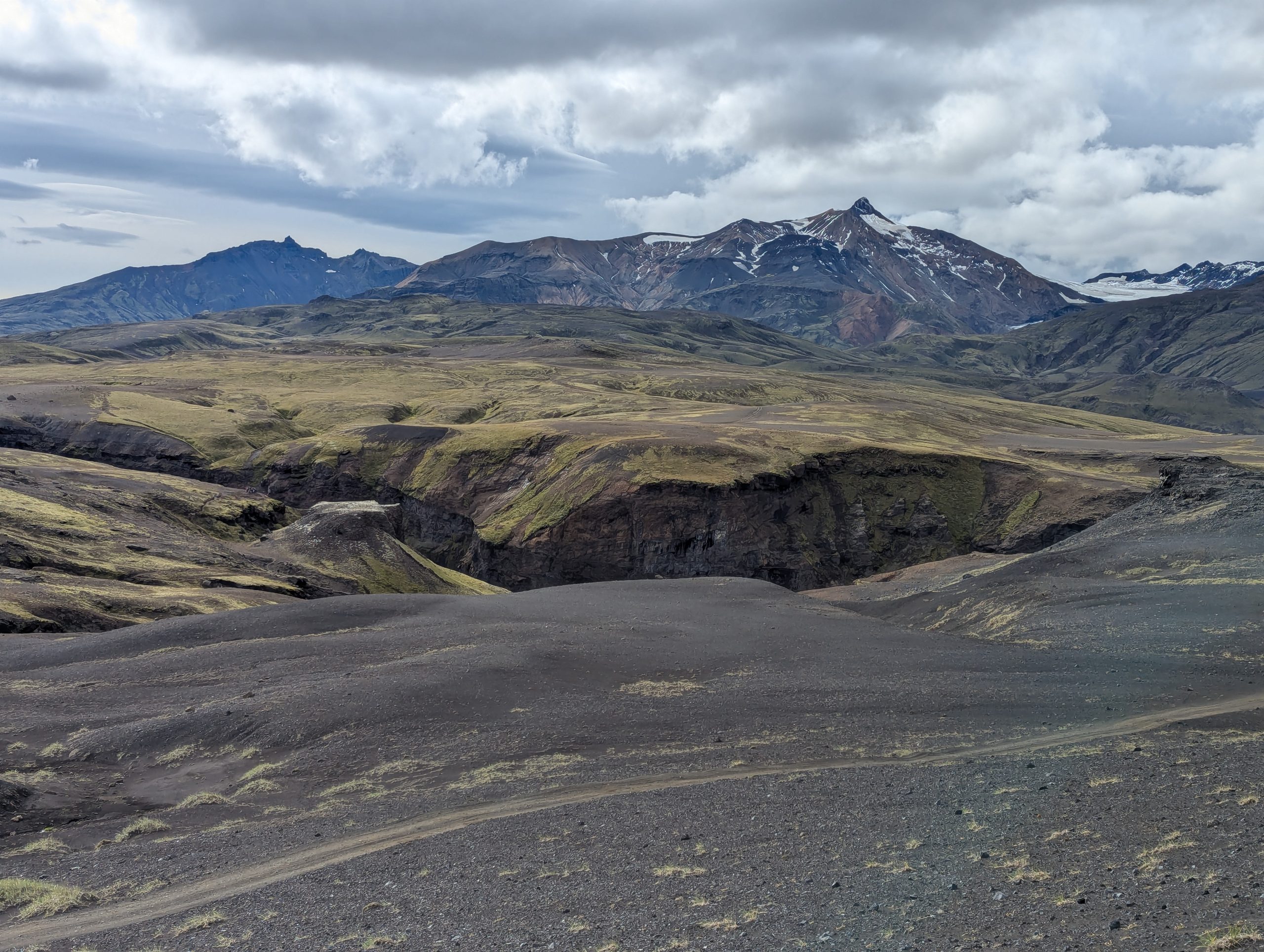
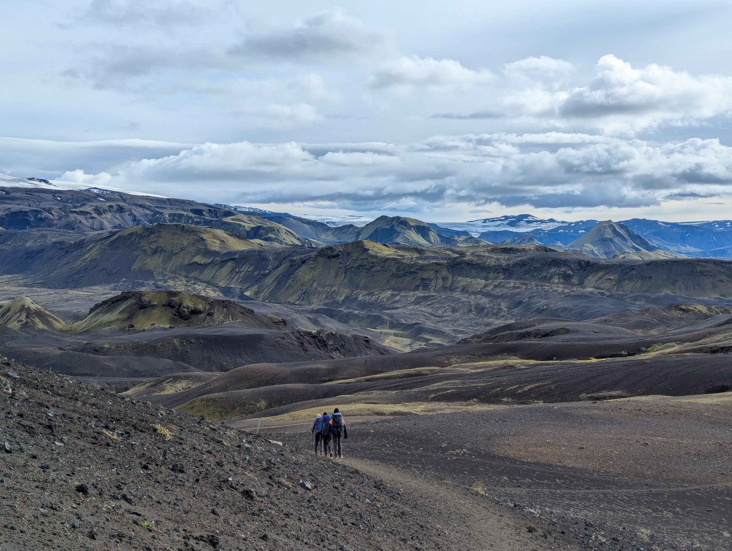
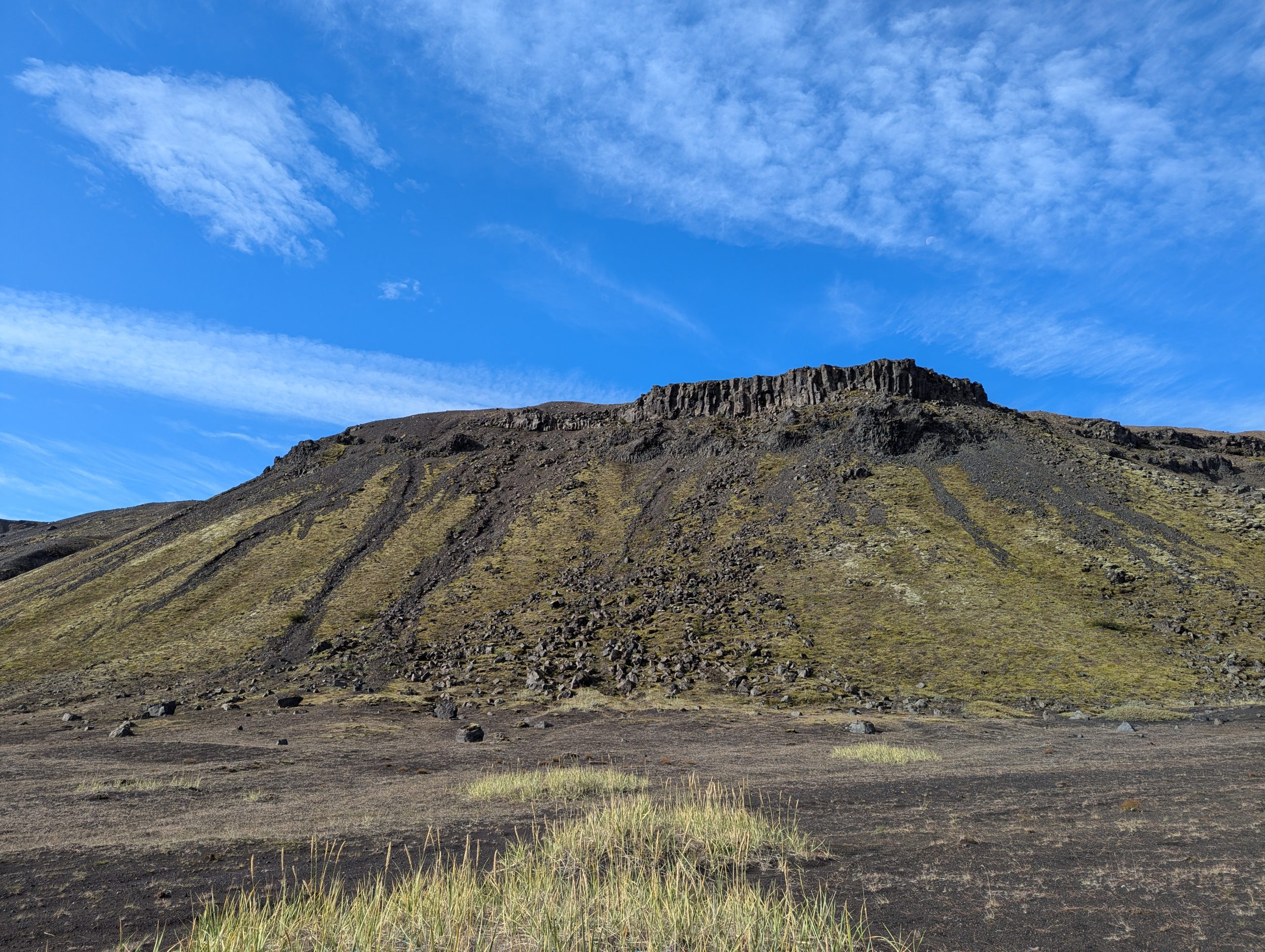
The highest point on the route is 1050 m. The route passes through a variety of landscapes. On the route you will encounter lava fields, hot springs, green fields of Icelandic moss, canyons, peak-like peaks and beautiful waterfalls.
The route starts at the Landmannalaugar base camp and ends in the picturesque Thorsmörk.
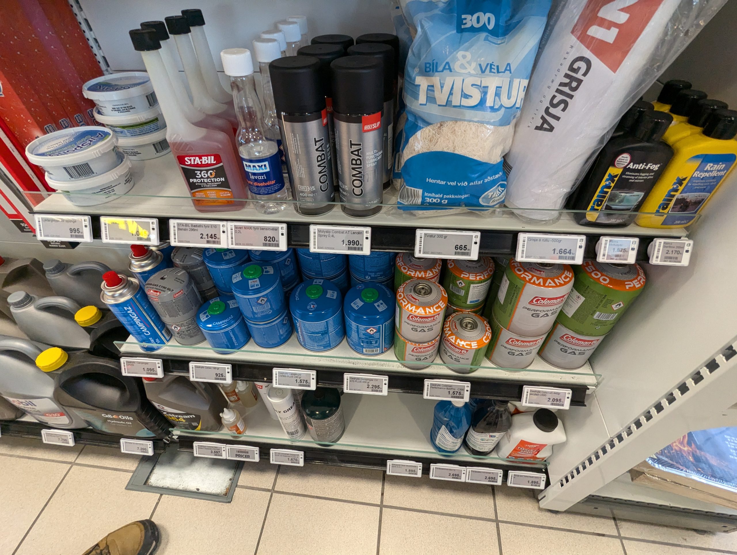
If you didn’t manage to buy gas in Reykjavik, it’s not a big deal.
You can buy gas for your stove at any gas station, of any volume, and for different types of cylinders. You can also buy all this at the campsites, or use the rest left by other tourists for free.
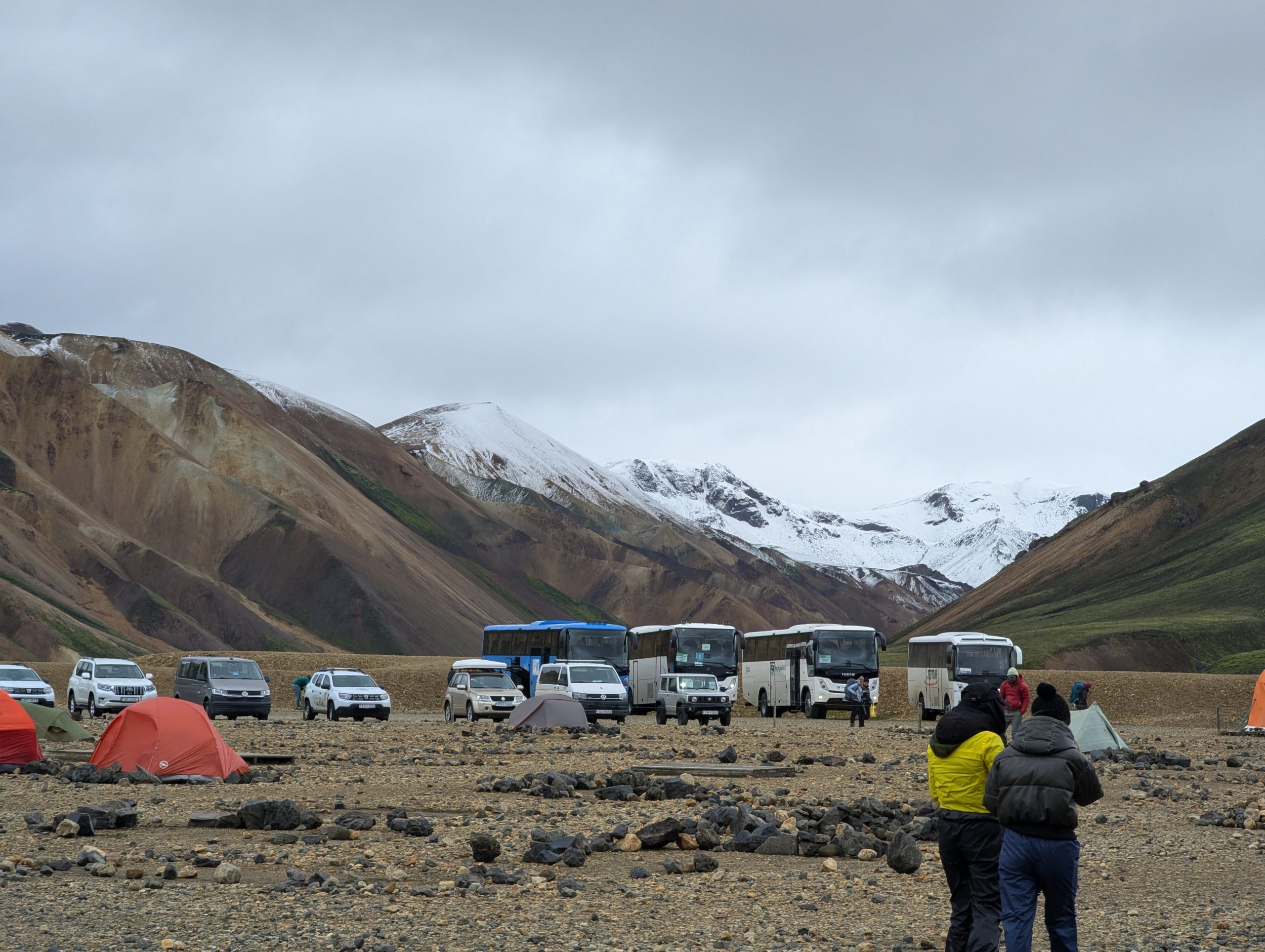
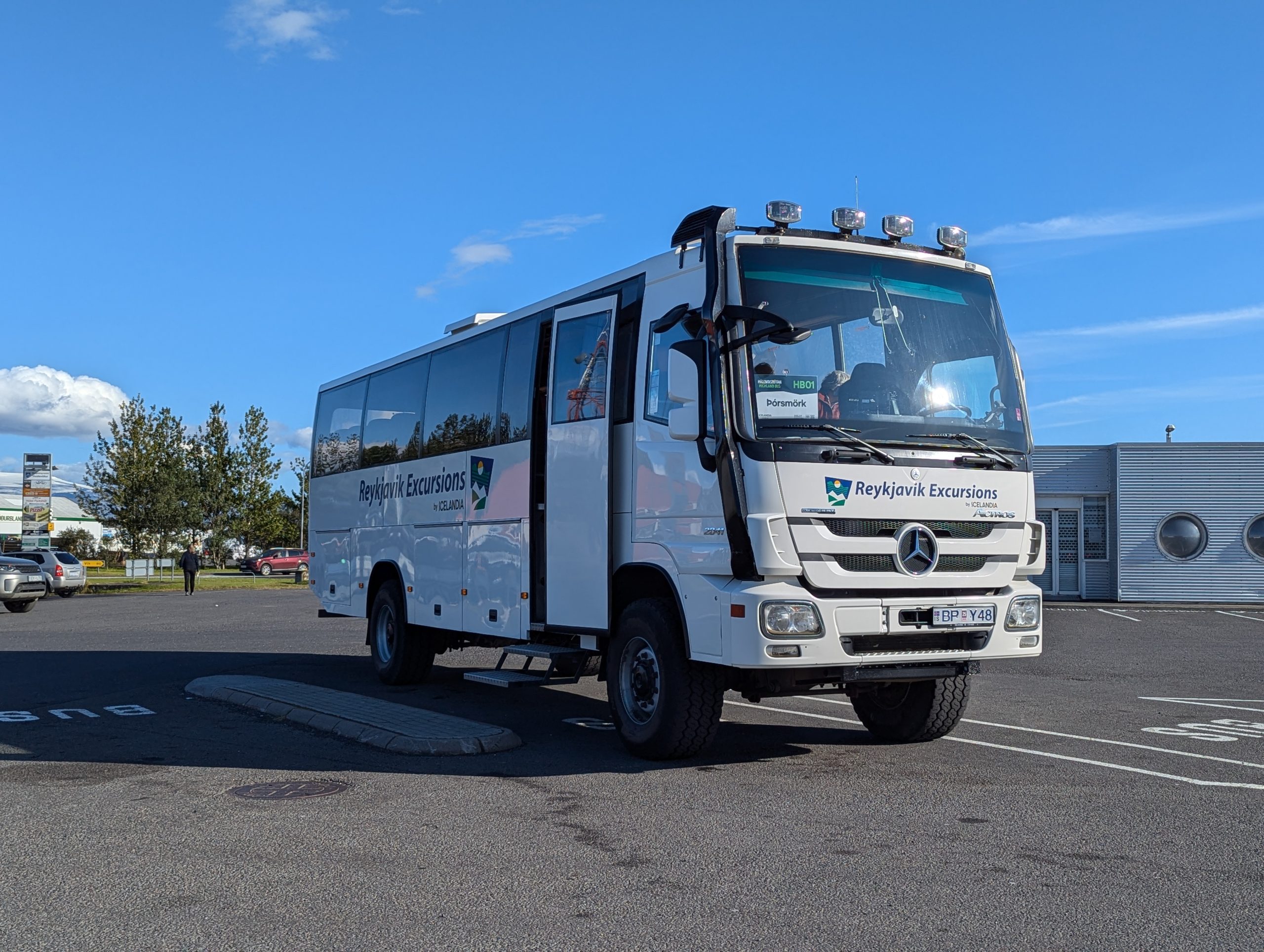
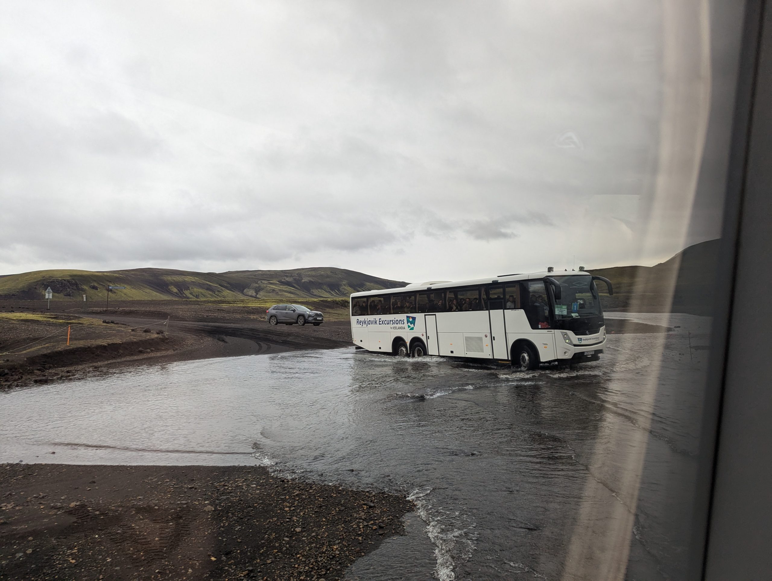
There is a direct bus (*expensive) from Reykjavik to Landmannalaugar, which looks more like an all-terrain vehicle converted into a bus, and getting to the starting point is a separate adventure 😉 By the way, entry for passenger cars is prohibited, there are warnings at the beginning of the road. Because then no one wants to pull out a car stuck in the mountain off-road.
")
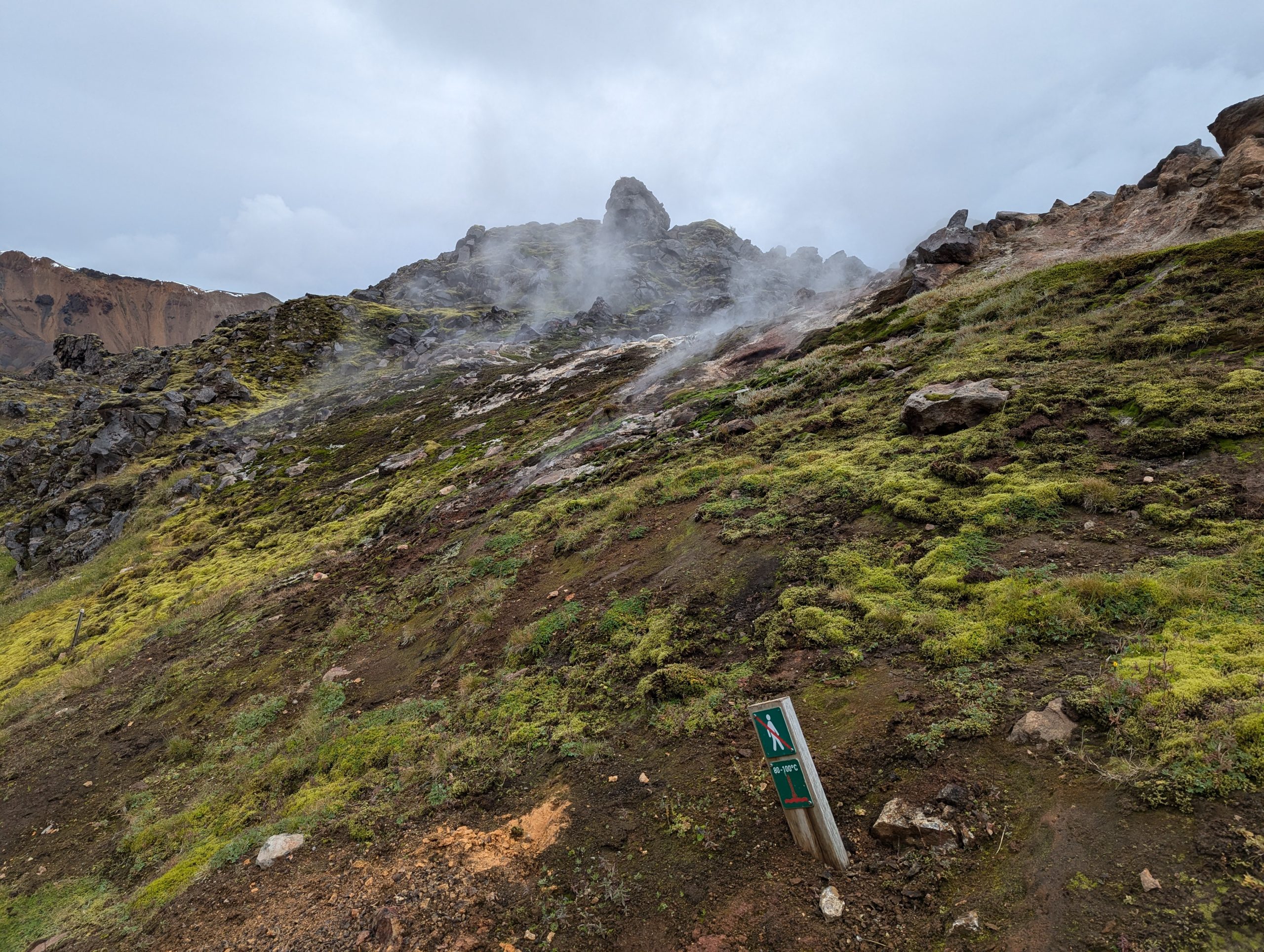
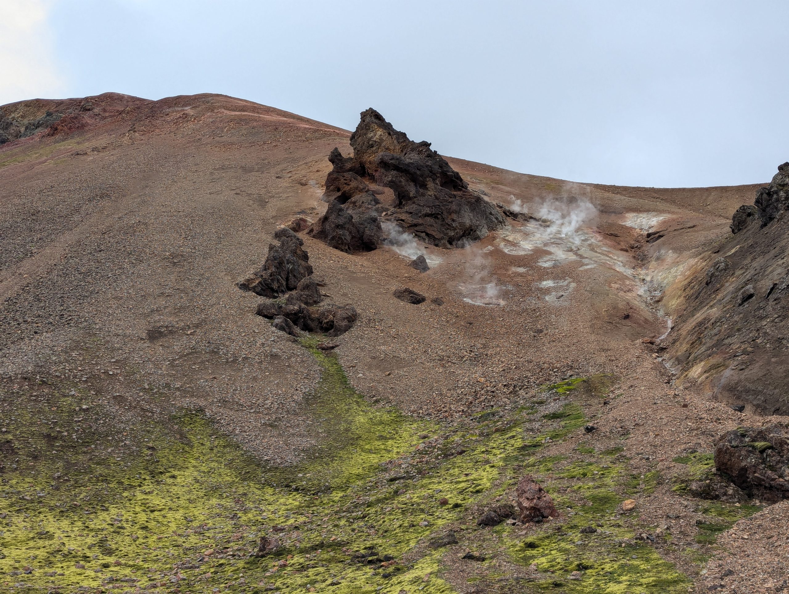
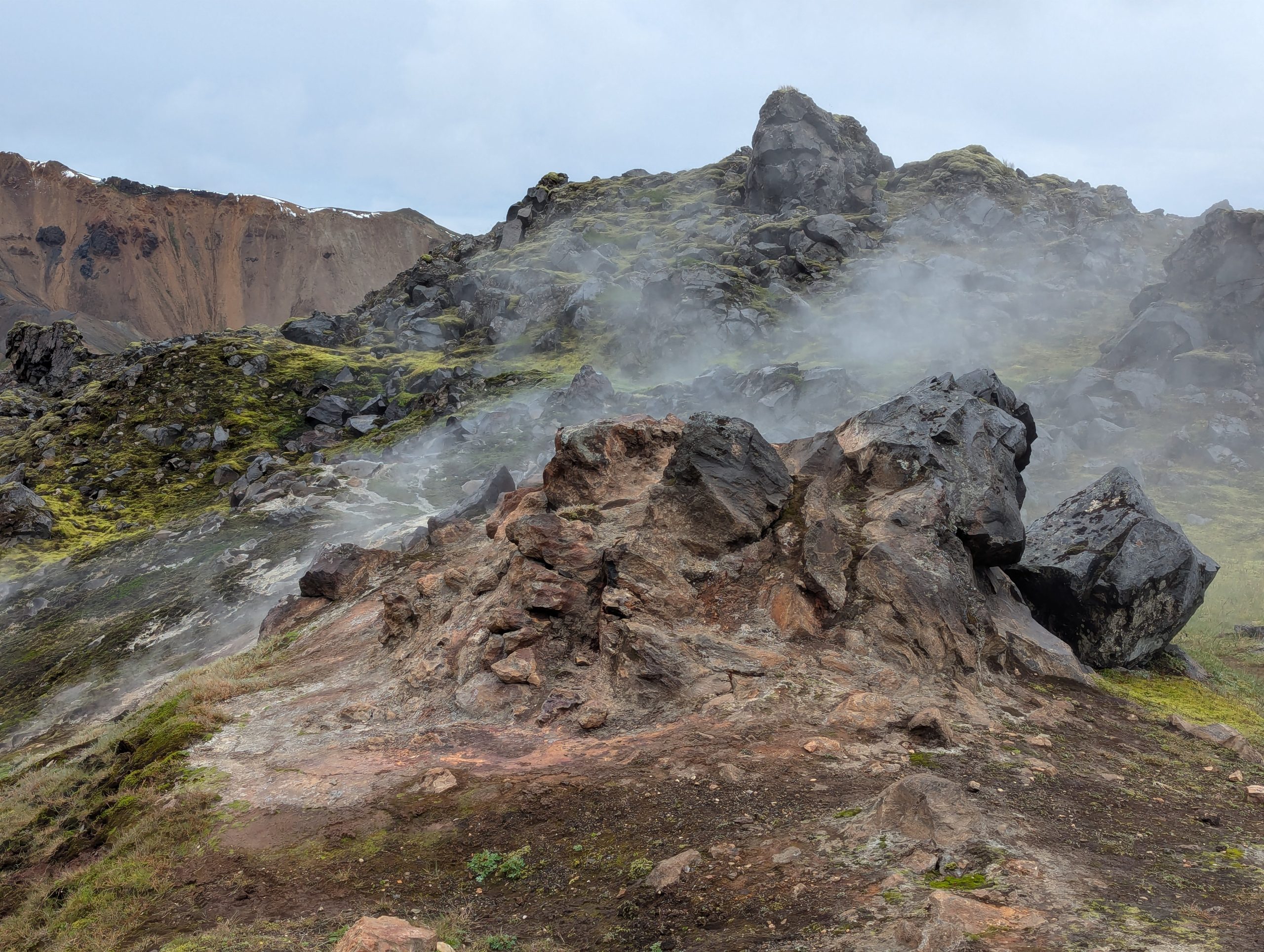
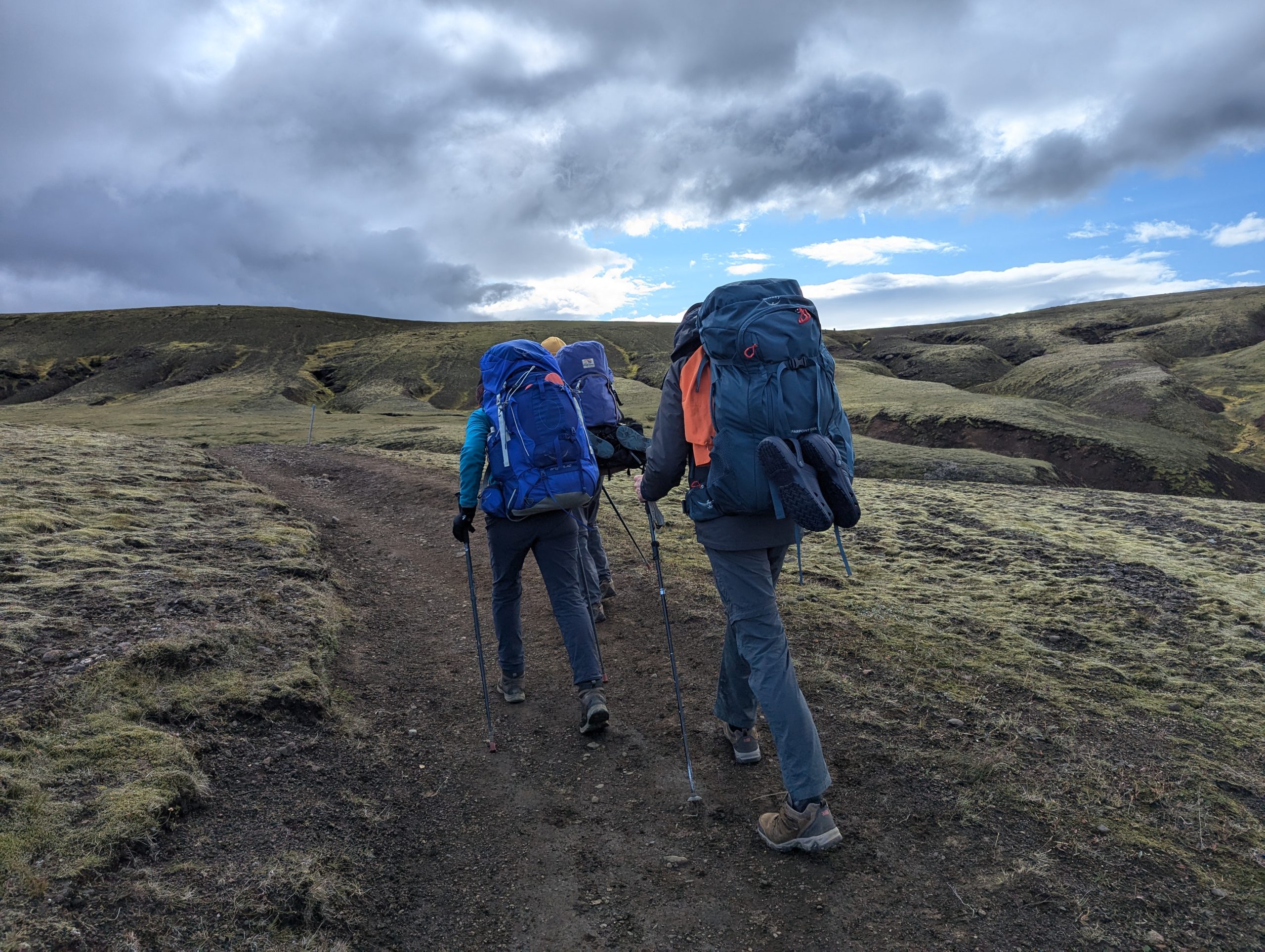
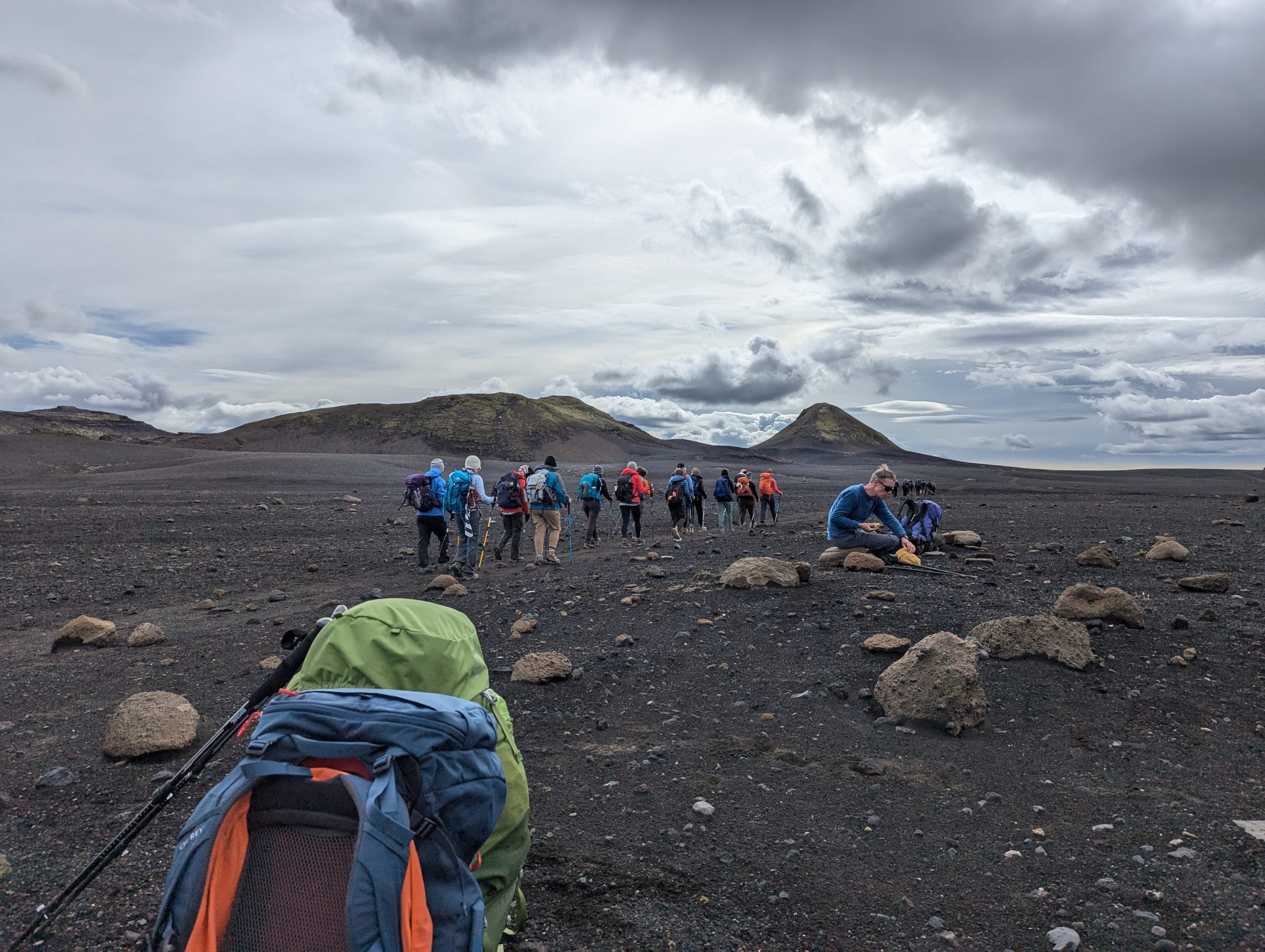
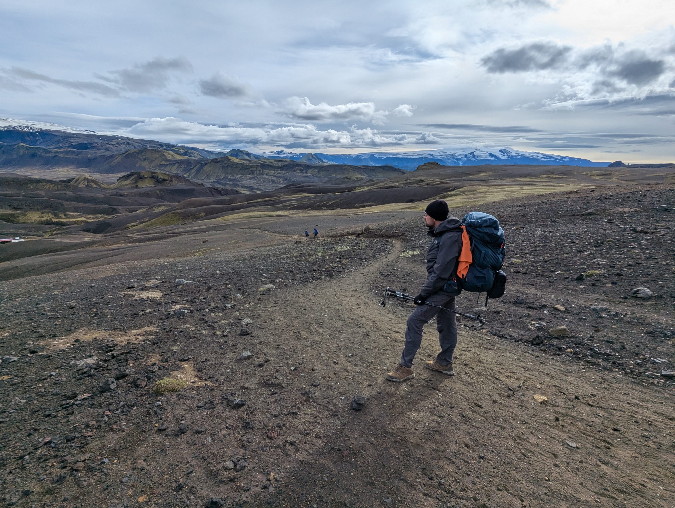
So, the beginning of the route passes through a beautiful landscape and fumaroles (*beautiful stinkers 😉). Of course, you need to endure these a little on the first section of the route))) After an hour and a half of climbing, the terrain becomes sharply steeper as you gain altitude. Also, dangerous steep traverses and slippery descents appear. But all this is passable if you are not afraid of heights, in good dry weather.
But we weren’t very lucky… It had snowed the day before and all the mountains were covered with a decent layer of snow, but the temperature was above zero during the day and the steep paths simply turned into some kind of slippery mess, you could fall off the cliff at any moment.
Personally, I was saved by the fact that I had read several different route descriptions before leaving, where it was mentioned that if there was snow on the mountains, simple crampons were desirable… and therefore “purely by chance” I took simple studded rubber bands for my shoes with me. I wasn’t even sure that they would work, but considering that I was wearing summer trekking sneakers, these rubber bands probably really saved my life in some places…
In general, we passed the first section of the route… it was not cold, because the temperature was above zero and there was no wind, but in some places it was very uncomfortable, because a simple walking route in the snow and especially icy conditions became quite dangerous without the appropriate footwear or minimal mountaineering equipment.
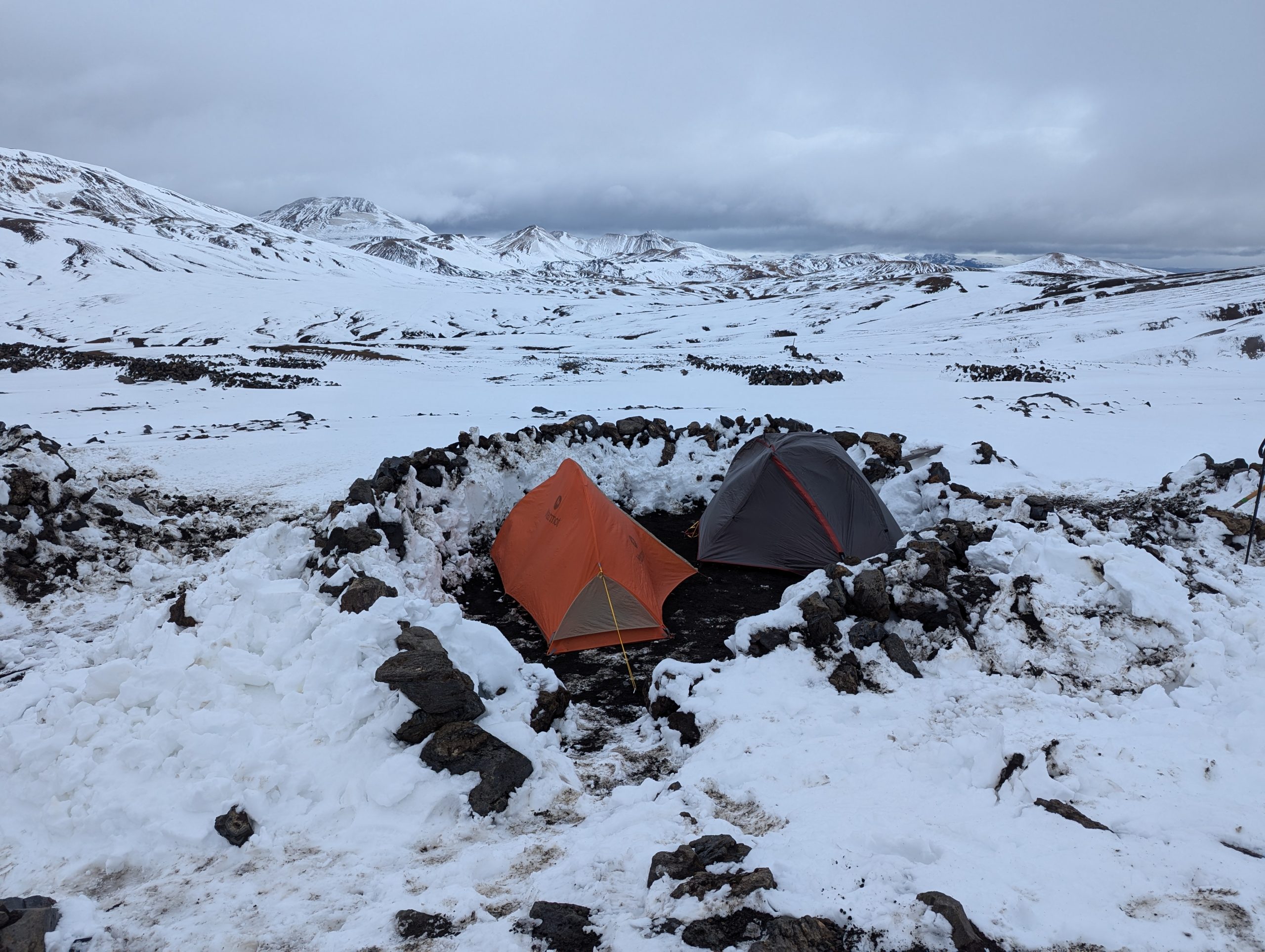
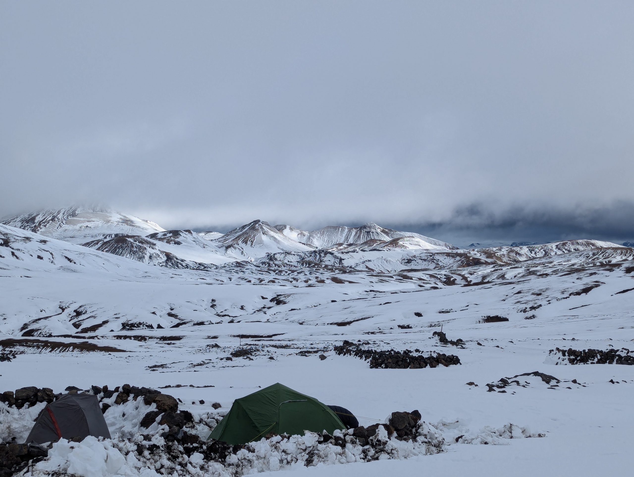
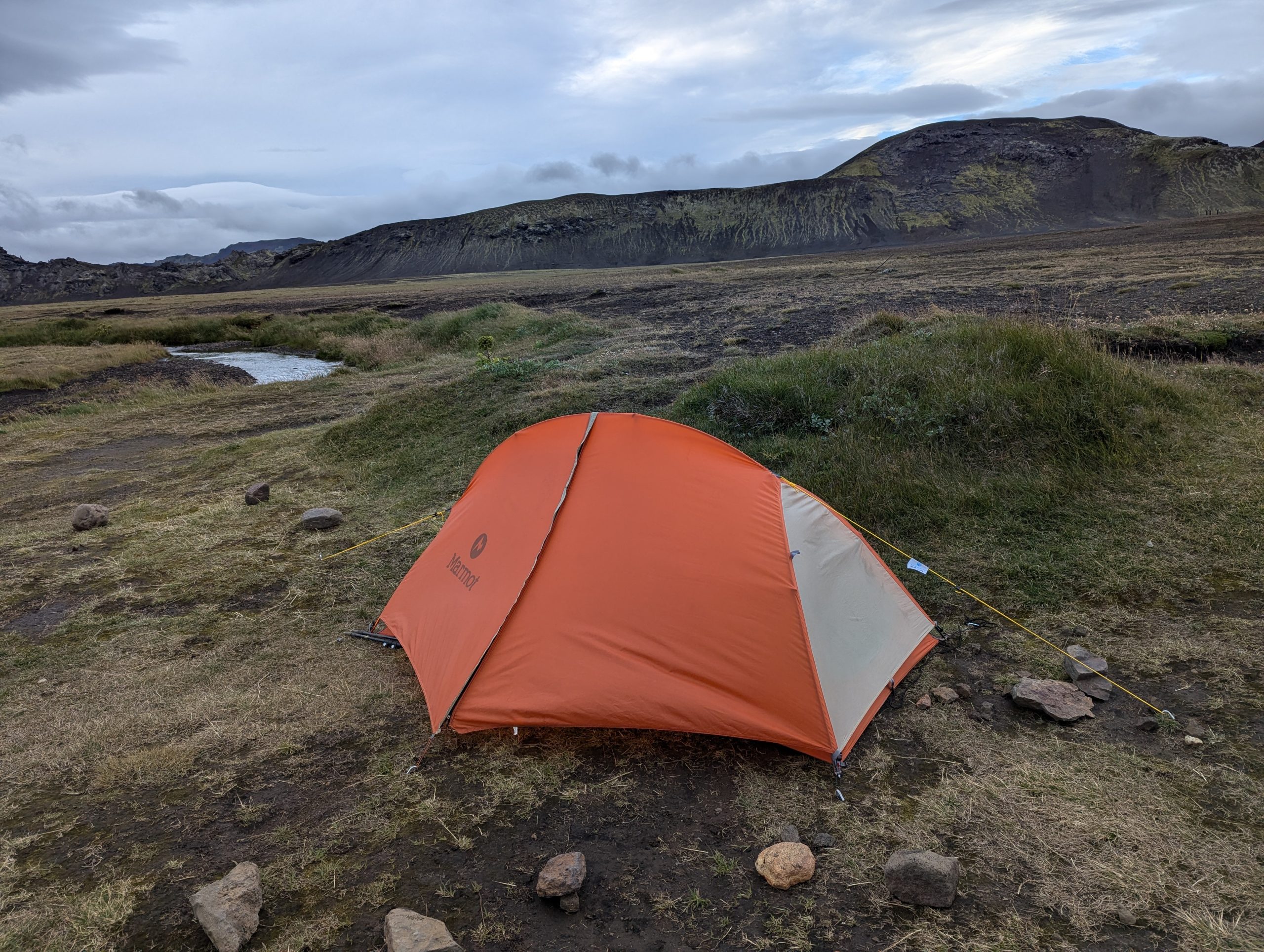
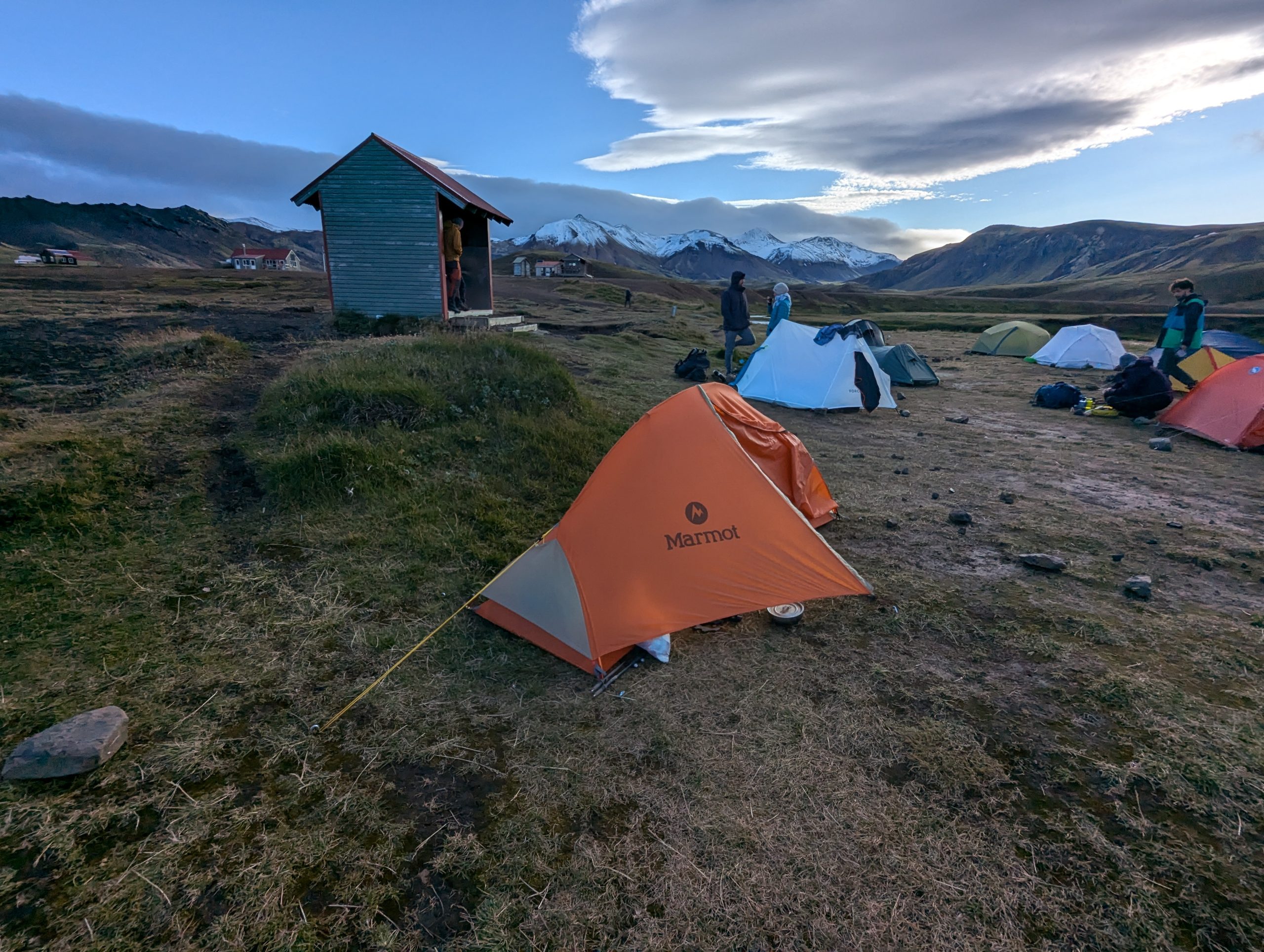
Our first overnight stay was in Camp 1 at an altitude of about 1000 m. At night, a hurricane-force wind rose, the temperature dropped to slightly below zero, my partner dug a site for the tents for about an hour, clearing snowdrifts. The night in summer tents and summer sleeping bags was great! ))) The thought that we had nowhere to go anyway encouraged us ;)… somehow we did not expect at all that in the mountains up to 2000 m in August there could be a lot of snow and subzero temperatures… Of course, we had light down jackets with us, but they were of little help ))
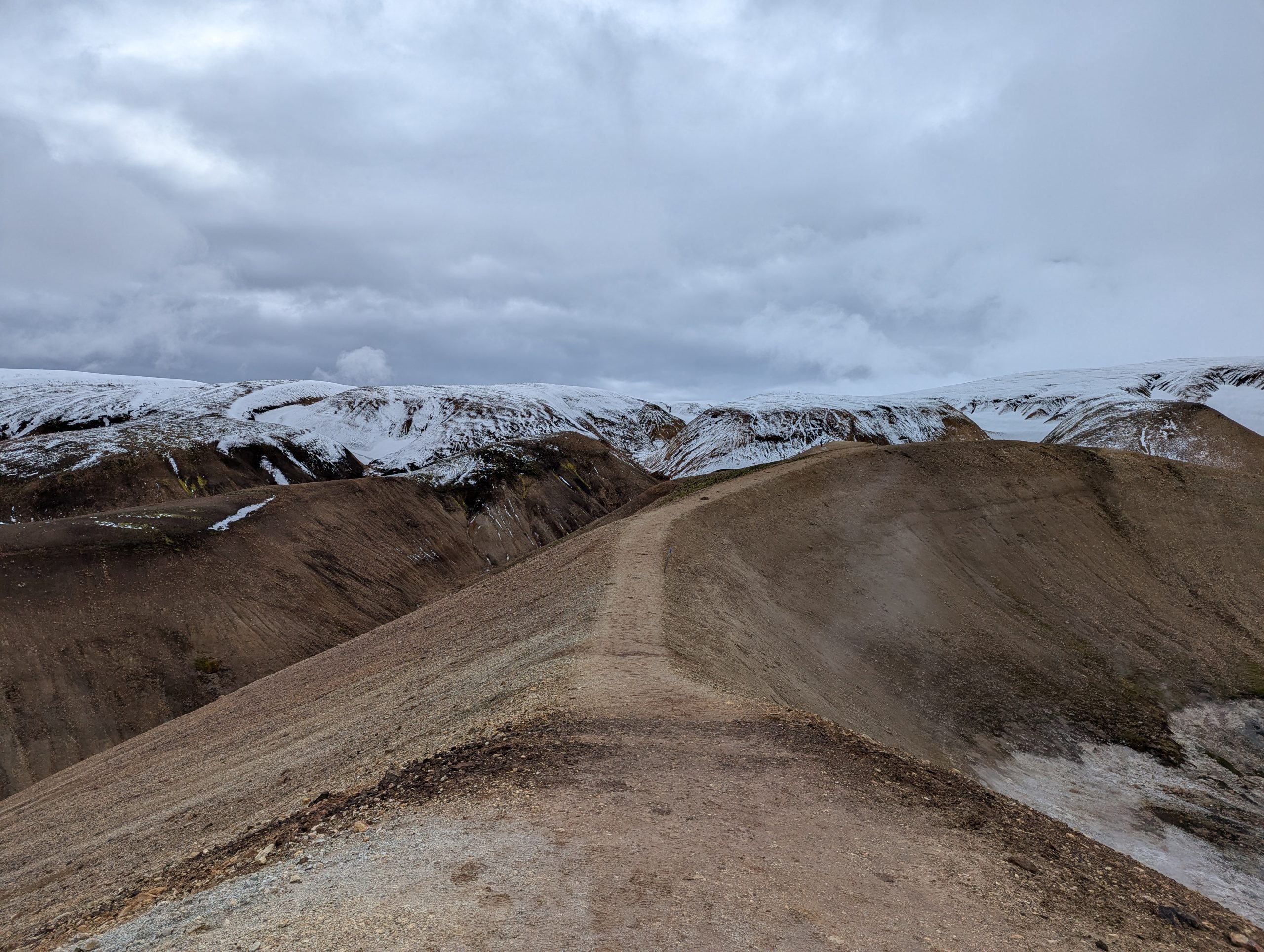
Morning of the second day. A snow storm began, visibility was almost zero. It was good that the entire route from start to finish was marked with poles. But it was not good that if there was a snowdrift now, no shoes and not even my rubber bands with spikes would hold on the steep slopes. If someone has ever been mountaineering, they probably remember how comfortable it is to walk on such slopes in “crampons” … and how uncomfortable without them.
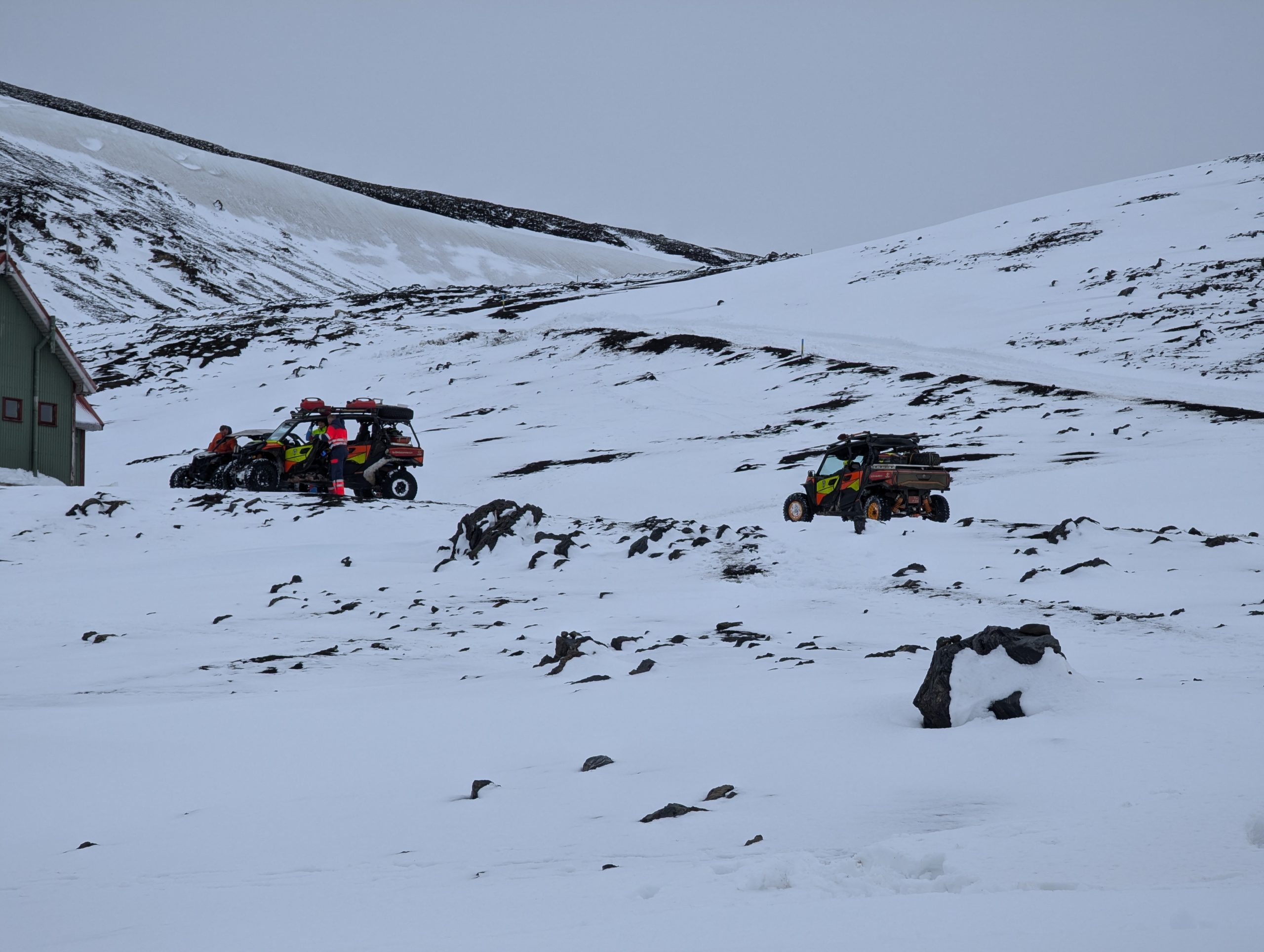
We started out on the route at about 10.30 in the morning, waiting for the weather to clear up … But alas, the weather was taking on an increasingly dangerous forecast: a strong wind turned into a hurricane, a light snowstorm turned into a blizzard, and visibility became 2 meters … Rescuers in quad jeeps arrived at the Camp administration house, but got stuck and completely stuck. And then I realized that if something does happen, no one will save us ))) helicopters won’t fly in such a hurricane, the rescuers’ quads are completely sunk in the snow…. 🙂 In general, there is nowhere to go anyway, we need to go, because it is even more difficult to go back – back to winter, and down is at least closer to warmth and summer.
We decided to go further with a couple from Australia, it was simply safer and calmer in such a situation – the more people, the more chances to insure each other and it’s just more fun.
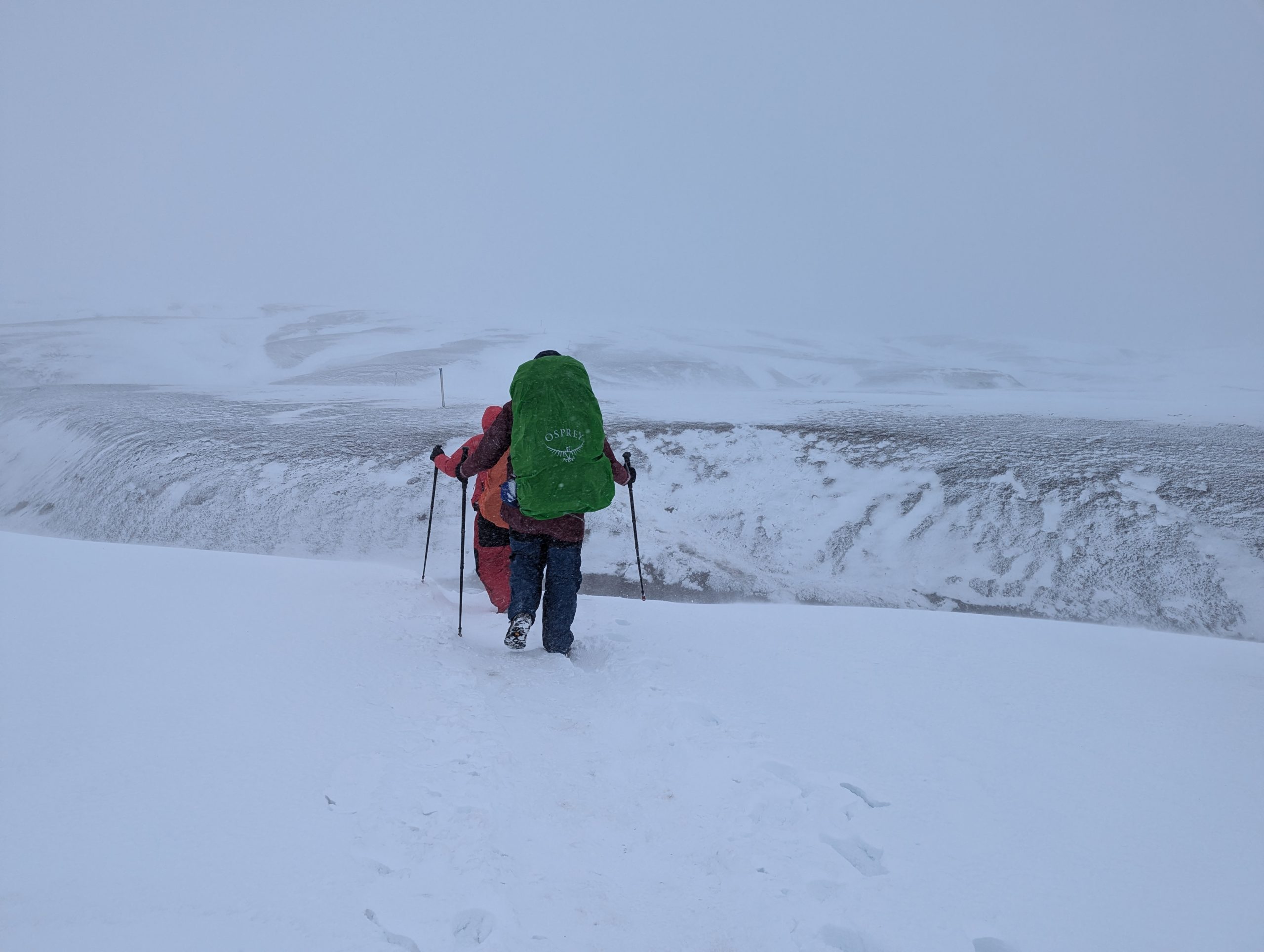
*A small recommendation: to complete the Laugavegur Trail, you should always have warm clothes, reliable mountain shoes (hiking boots with good tread or, if the shoes are weak, then studded rubber boots), trekking poles and a strong tent. Because the winds here can be very strong. We all felt this on the second day of the route. Especially when you walk along the ridge and gusts of wind blow you off your feet and you can barely keep your balance even with trekking poles. In winter, you can only do this route with ice axes and crampons.
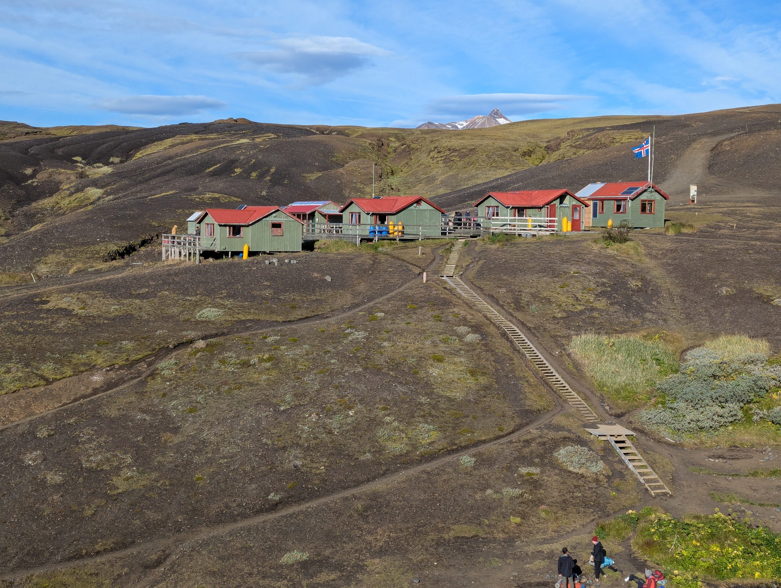
Camp 2.
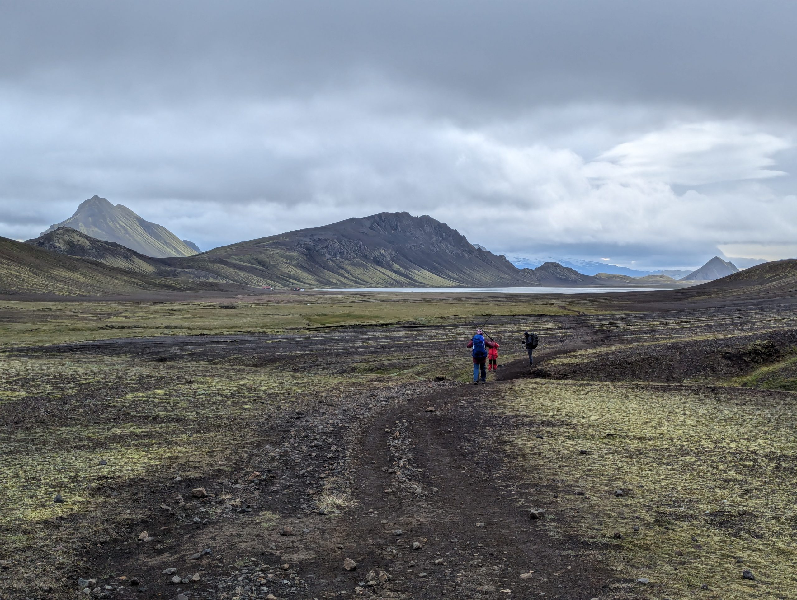
The night in the second Camp was in an amazingly beautiful place with a view of a huge lake and snow-capped mountain peaks, next to the tents a brook lulled soothingly…
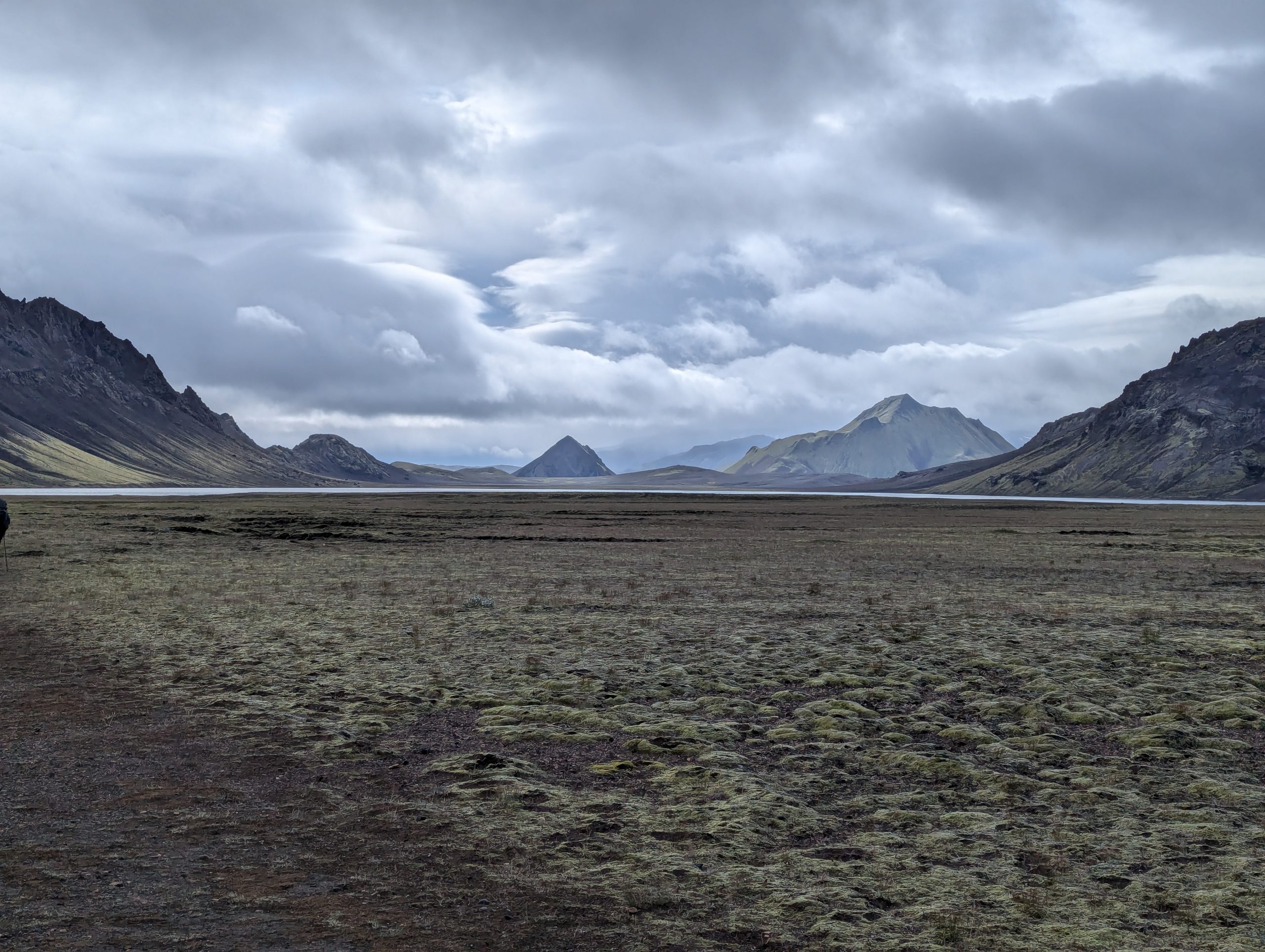
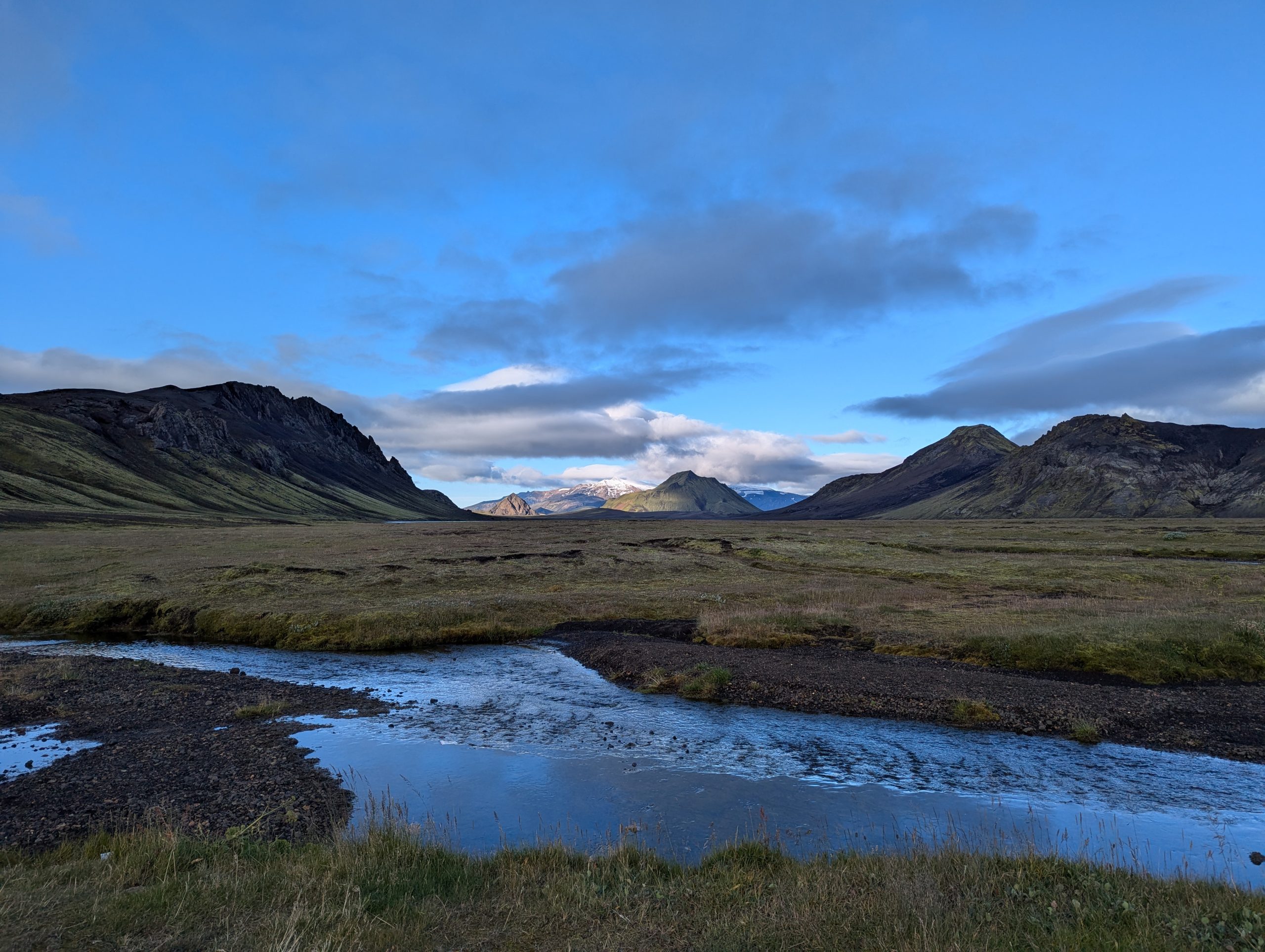
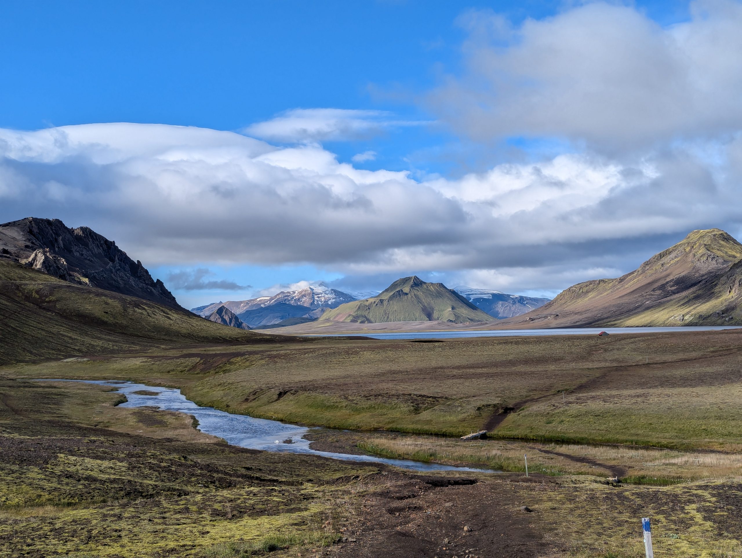
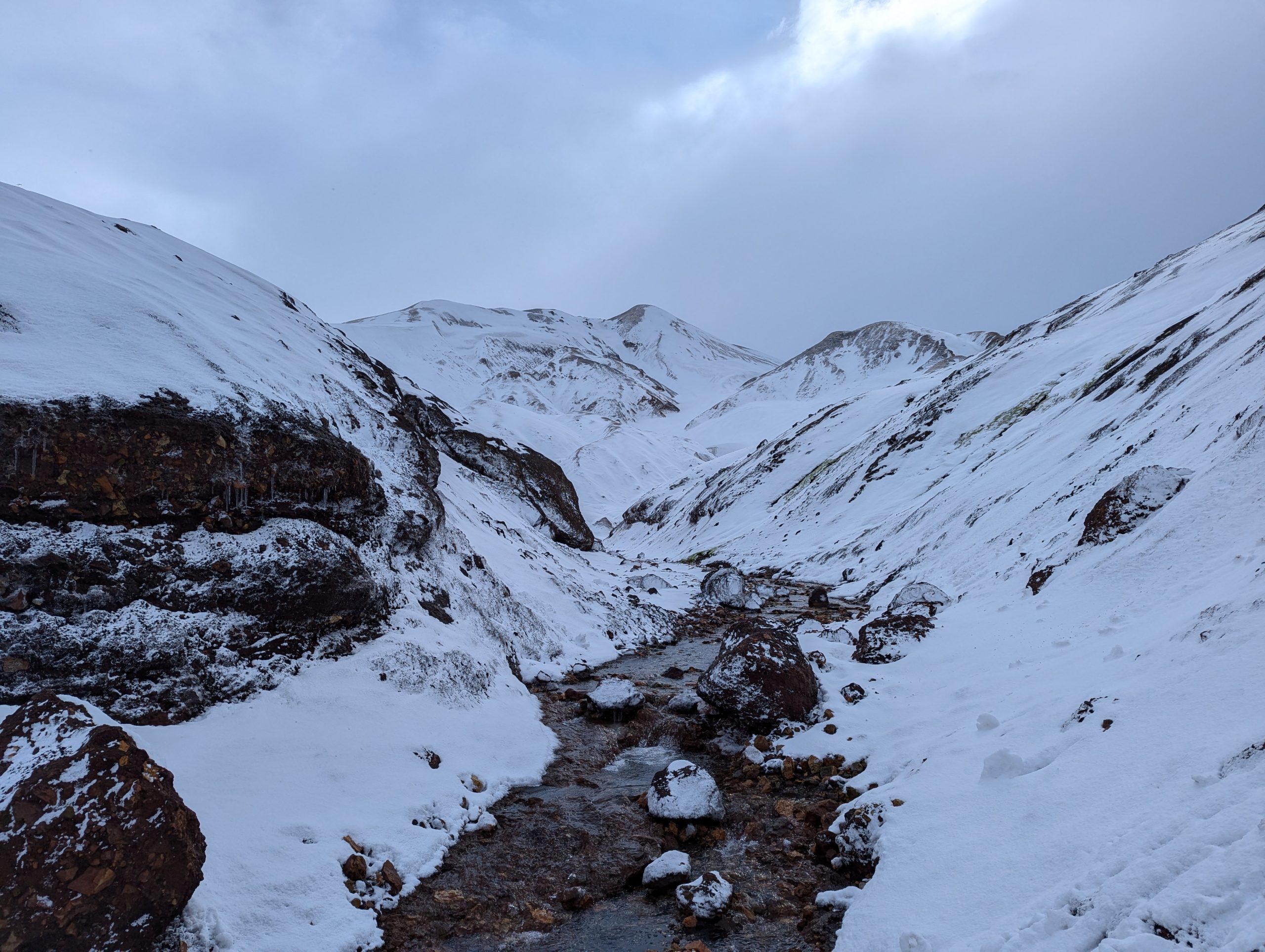
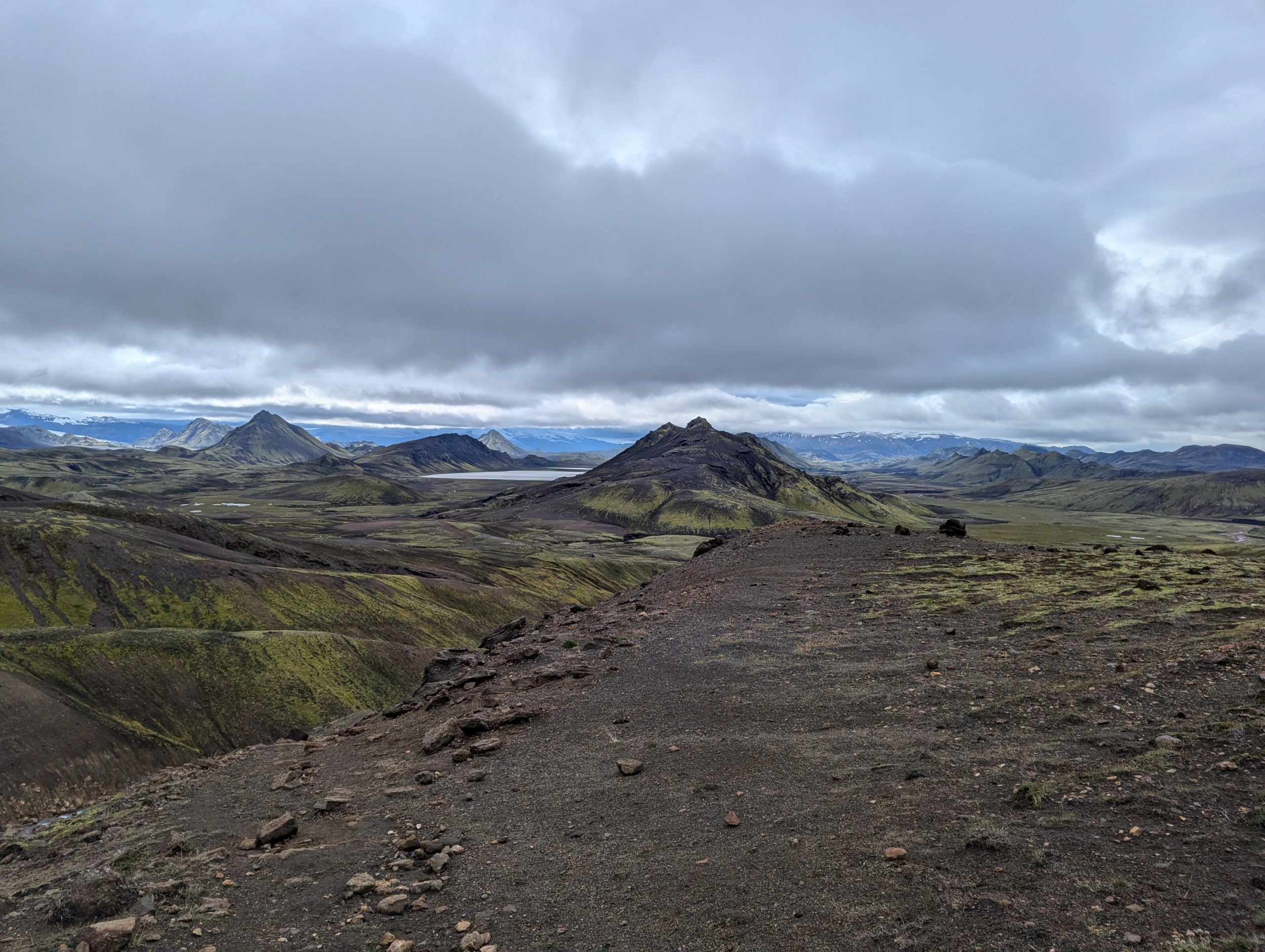
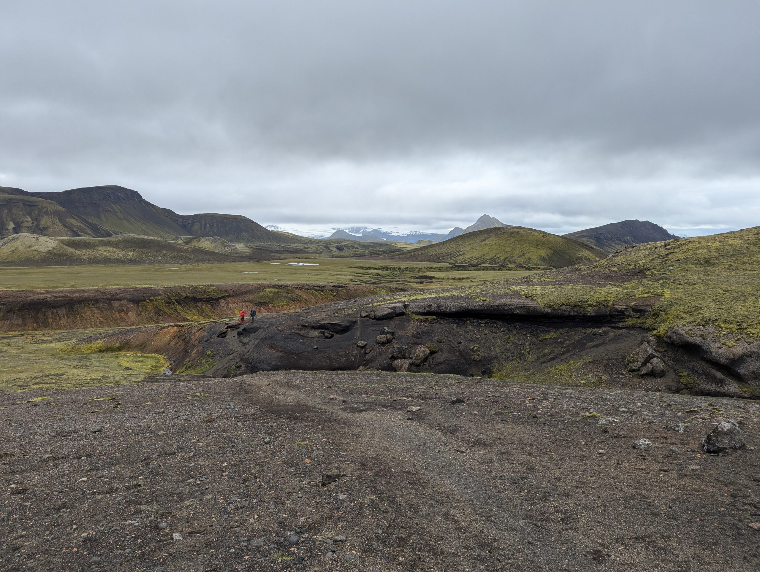
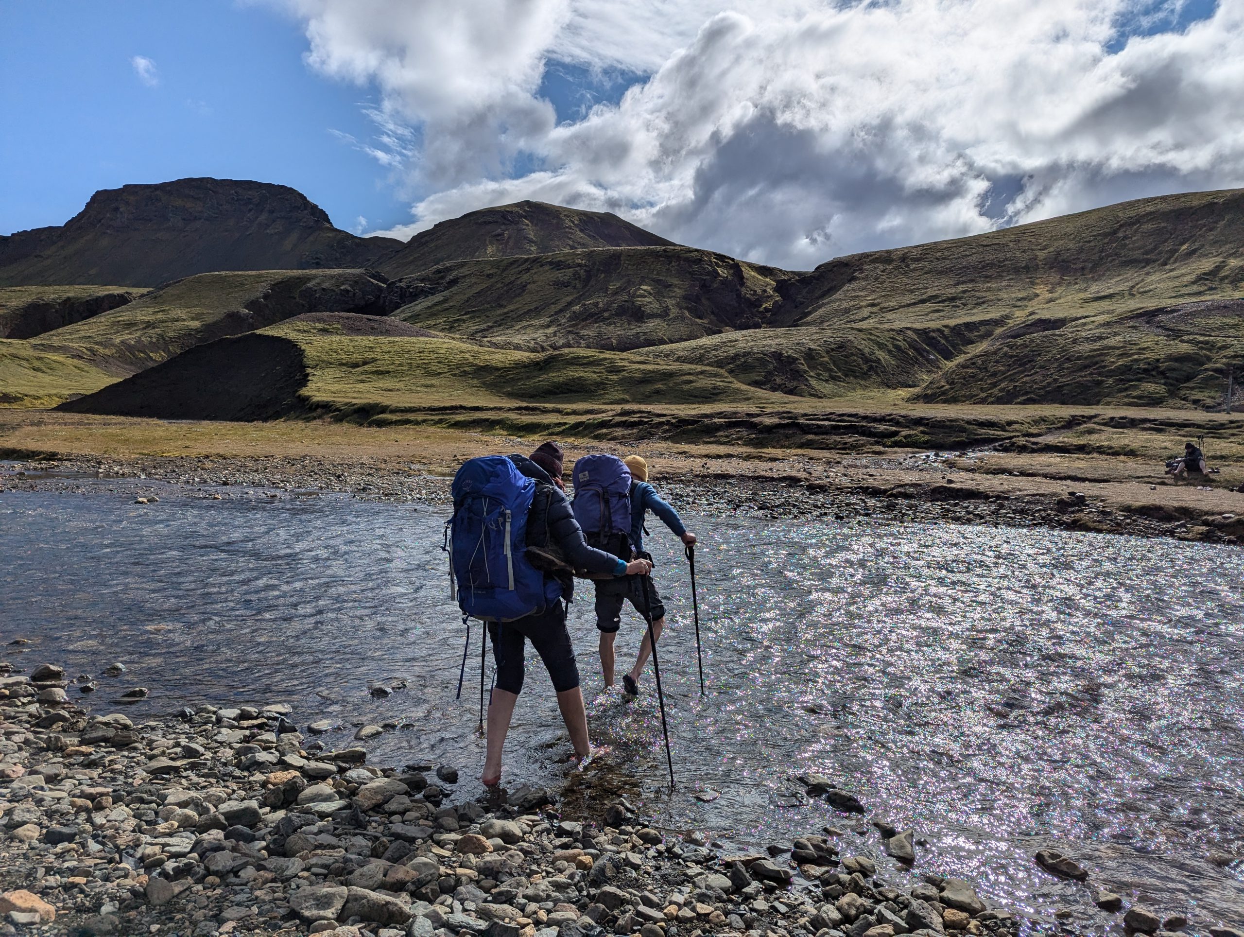
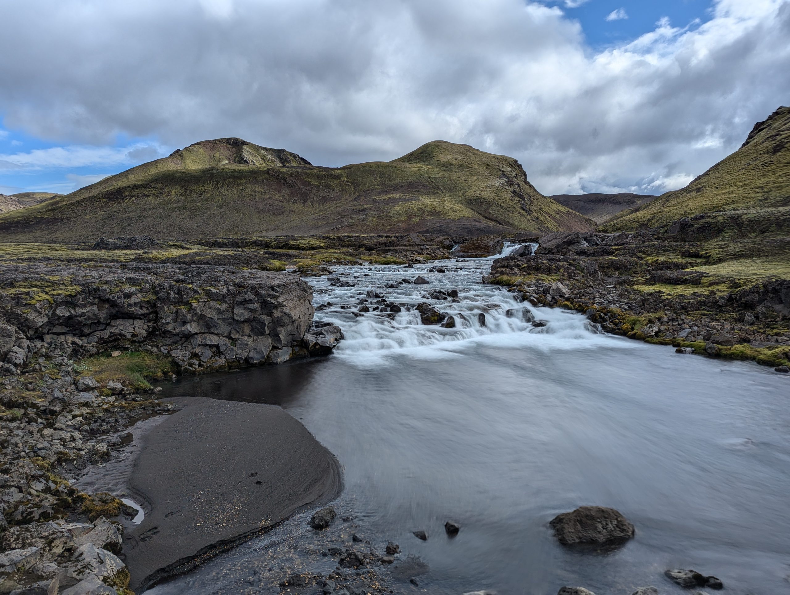
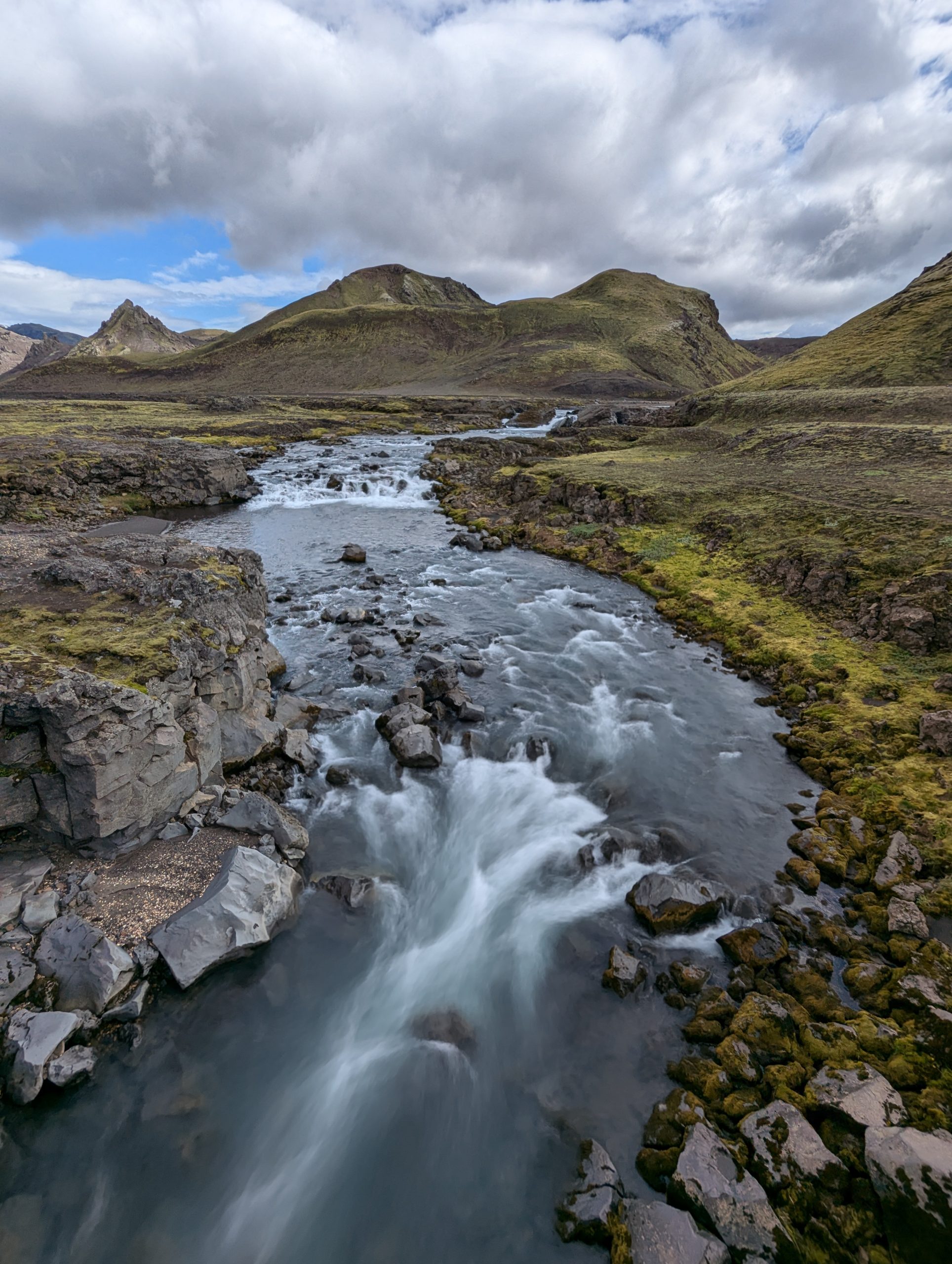
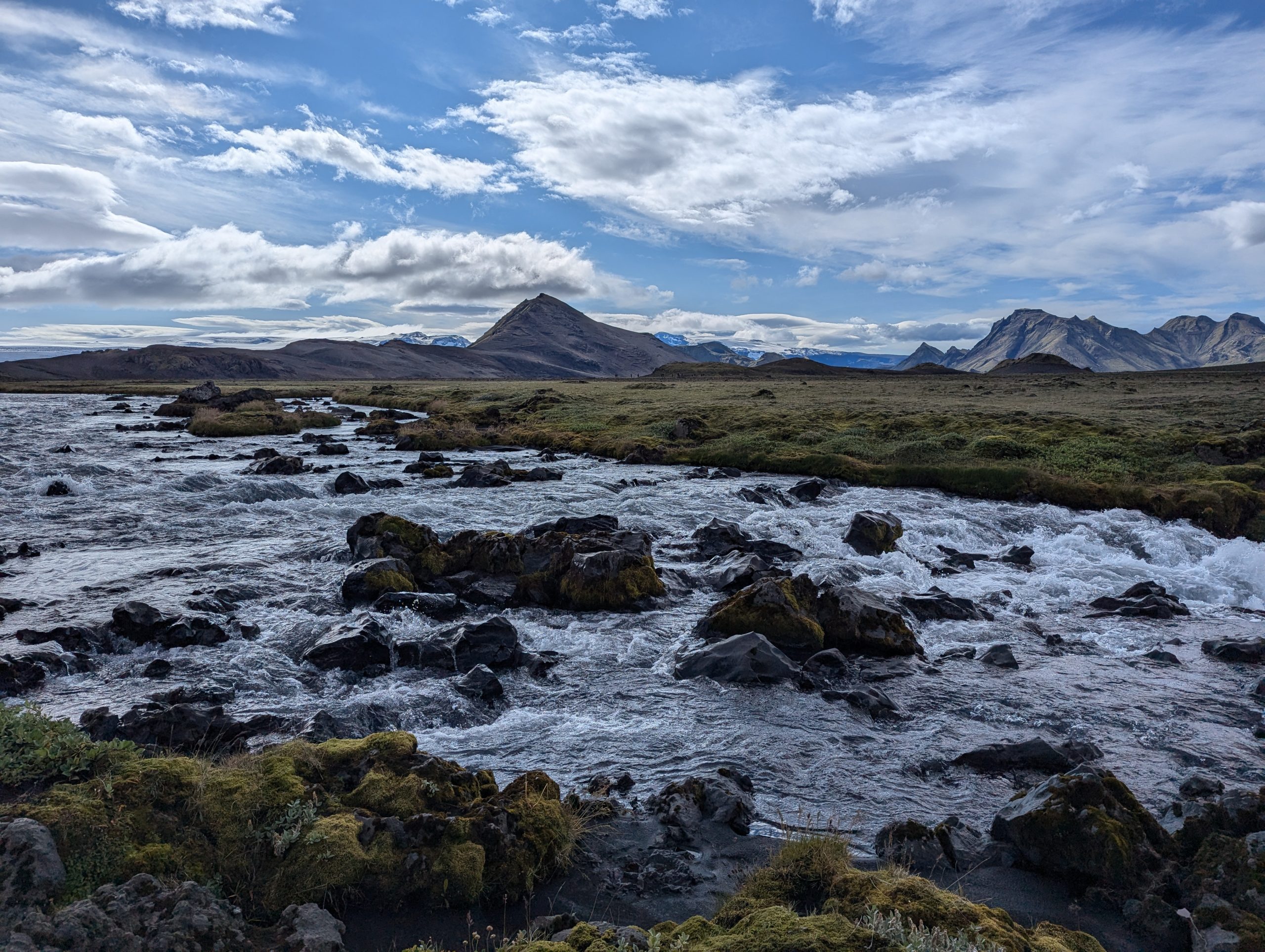
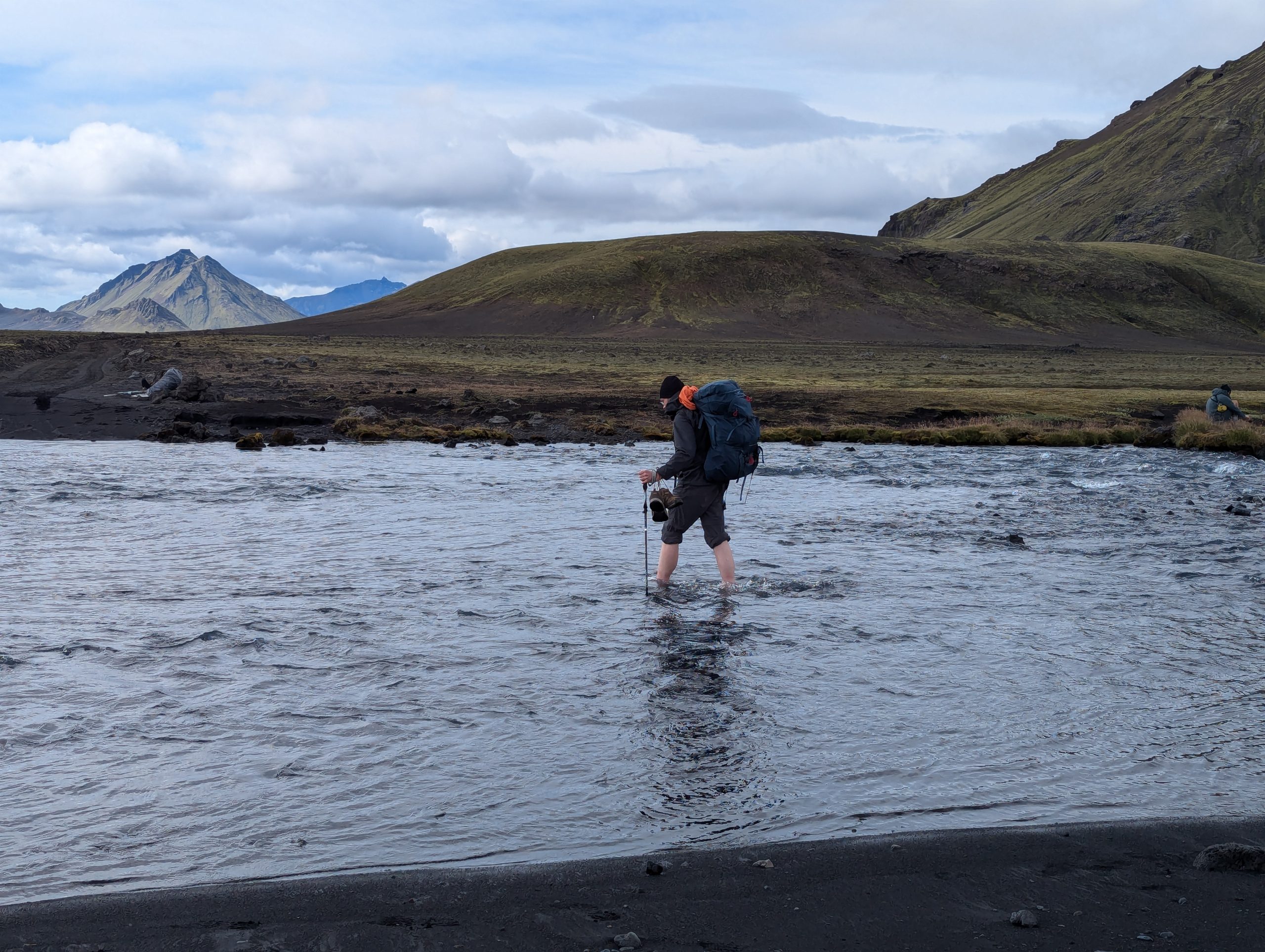
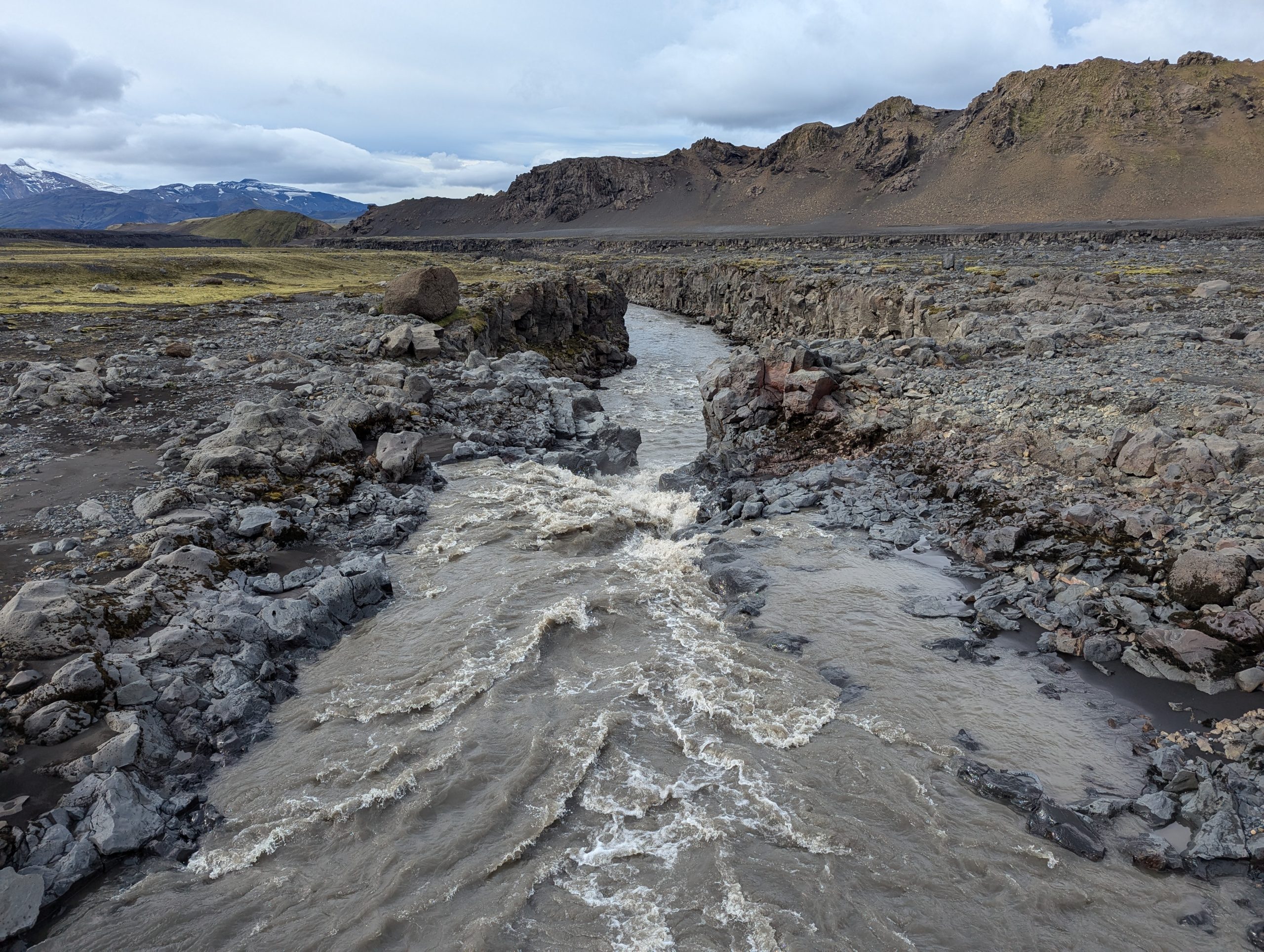
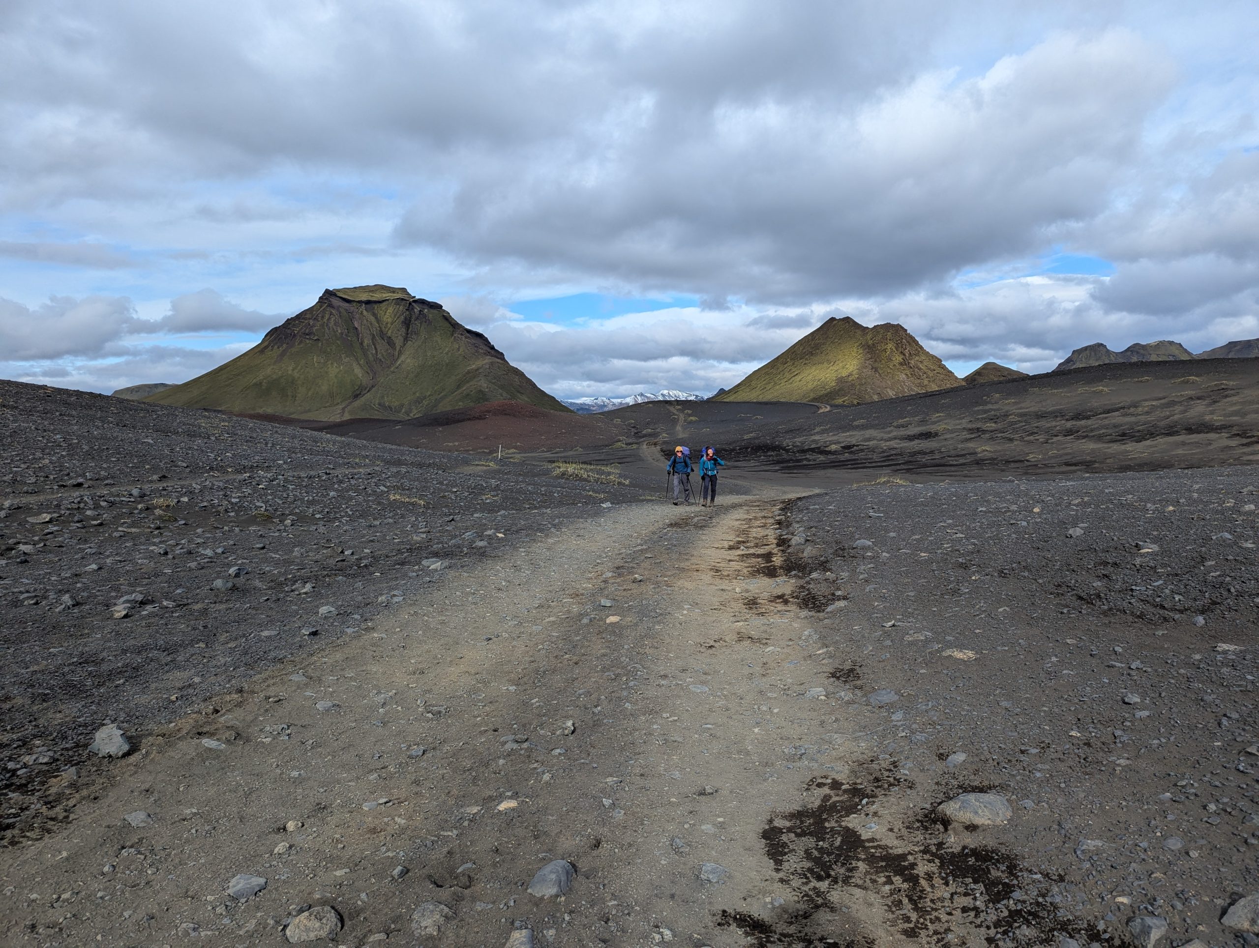
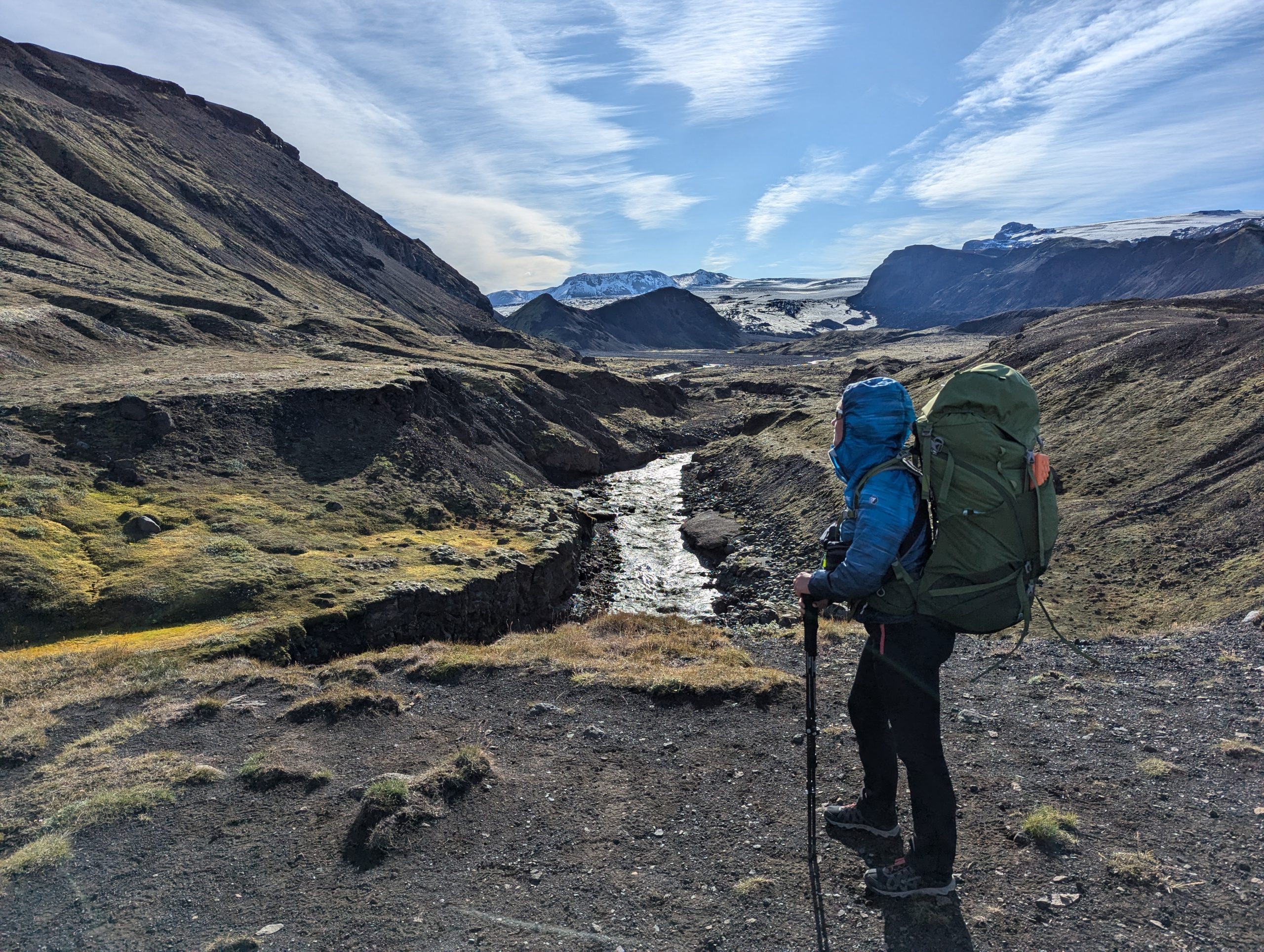
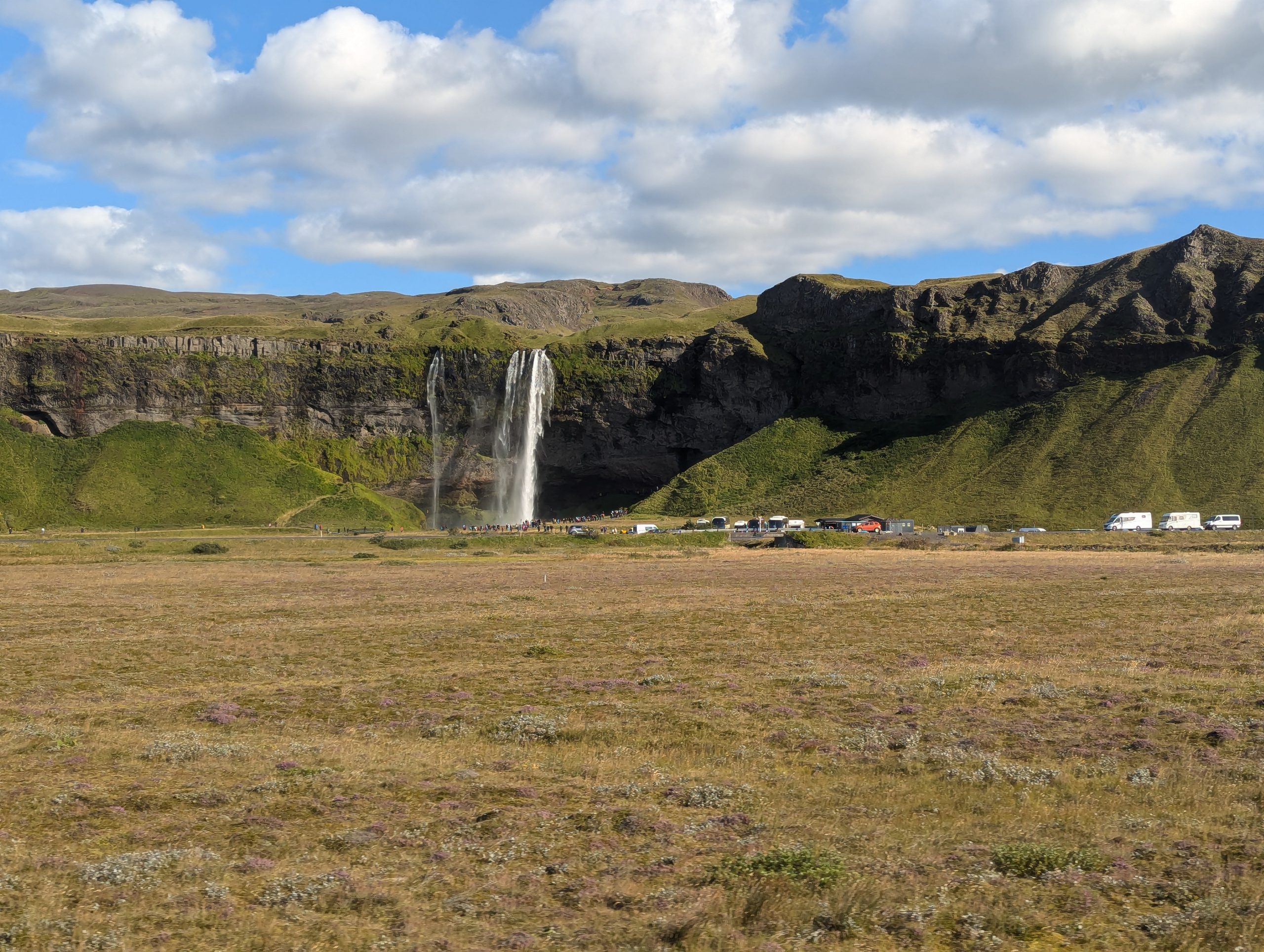
Day three and the easiest. This section of the route passed exclusively through plains, i.e. through lava fields with occasional fords across icy mountain rivers and incredibly beautiful waterfalls.
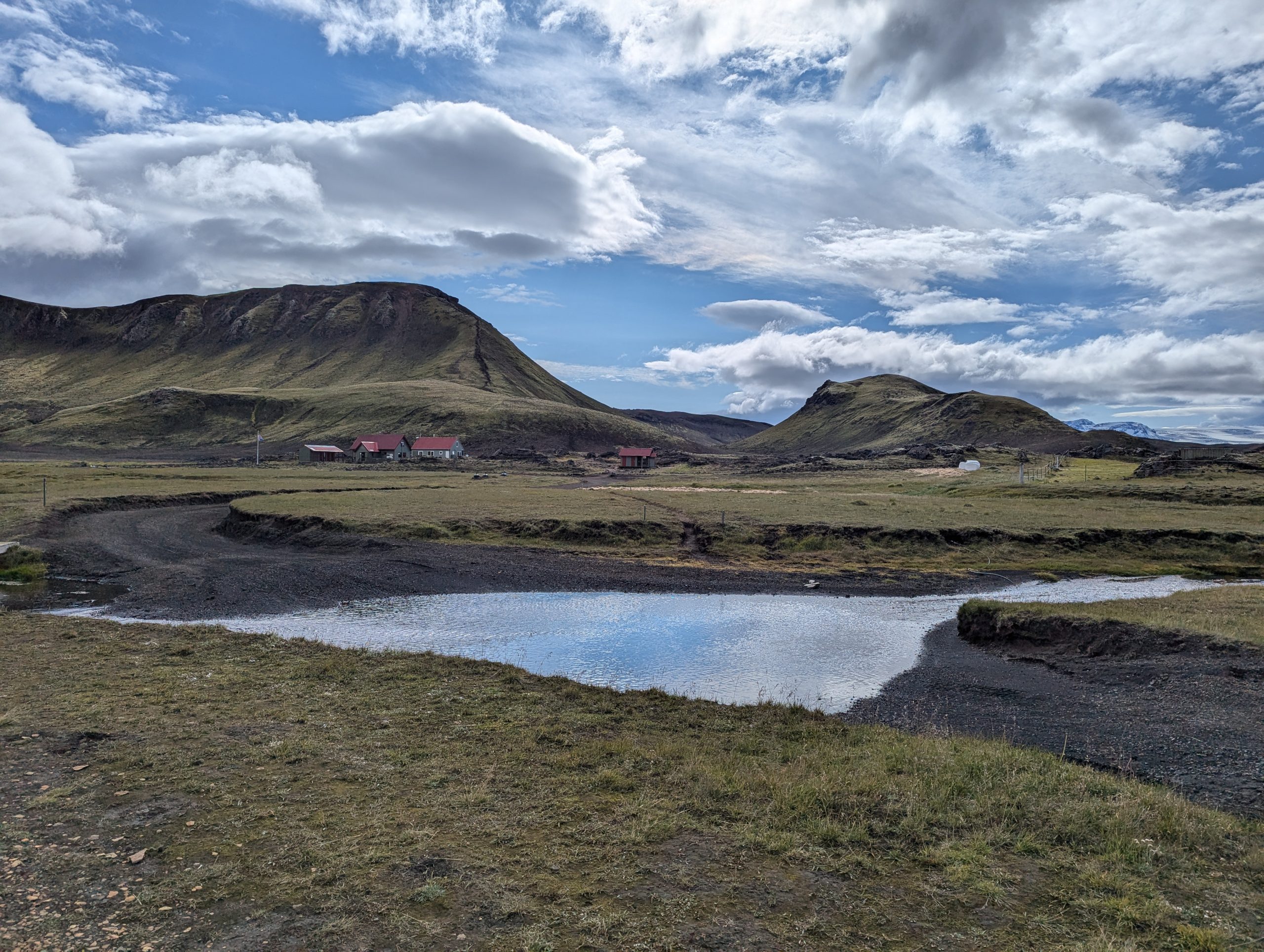

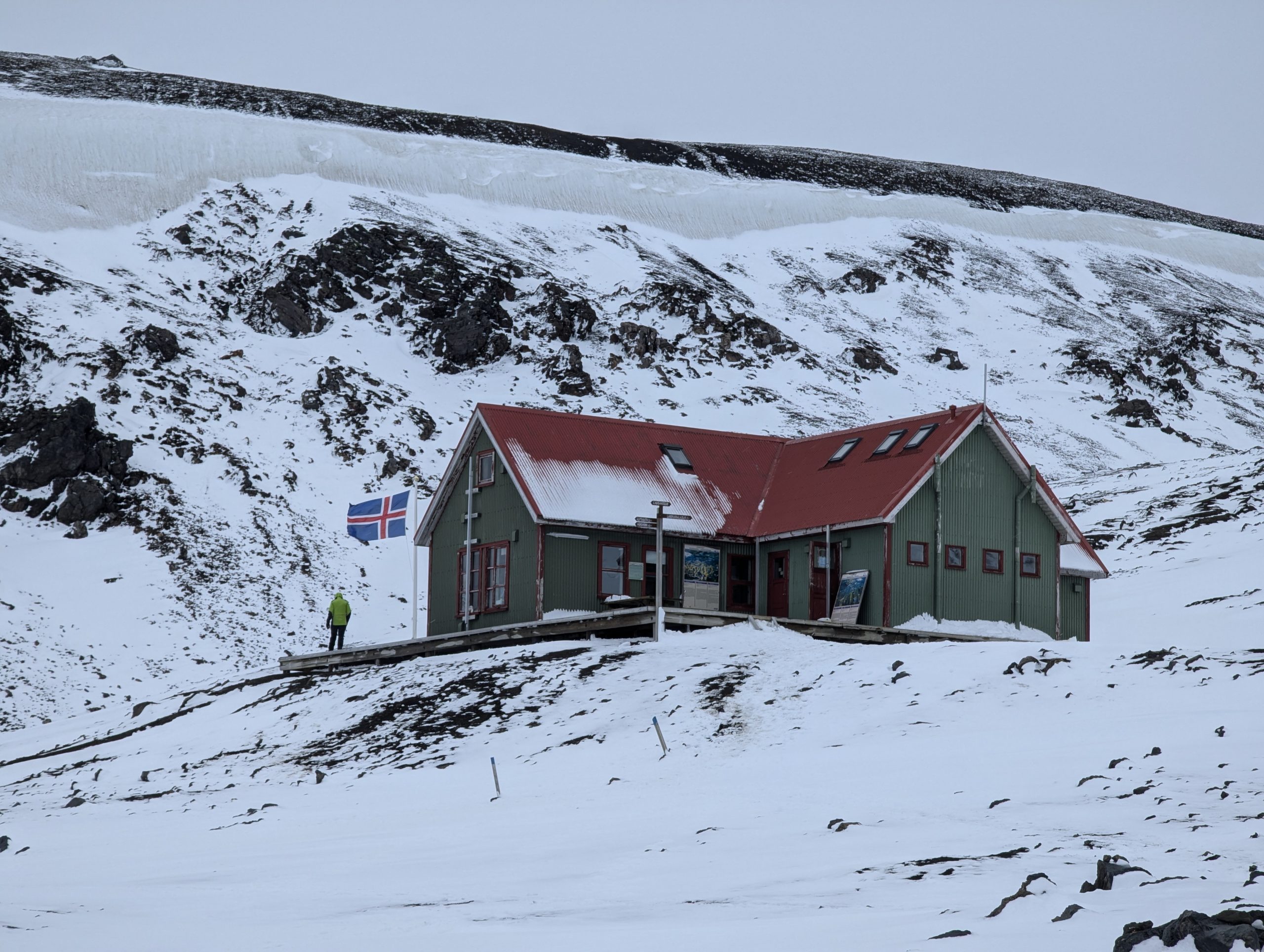
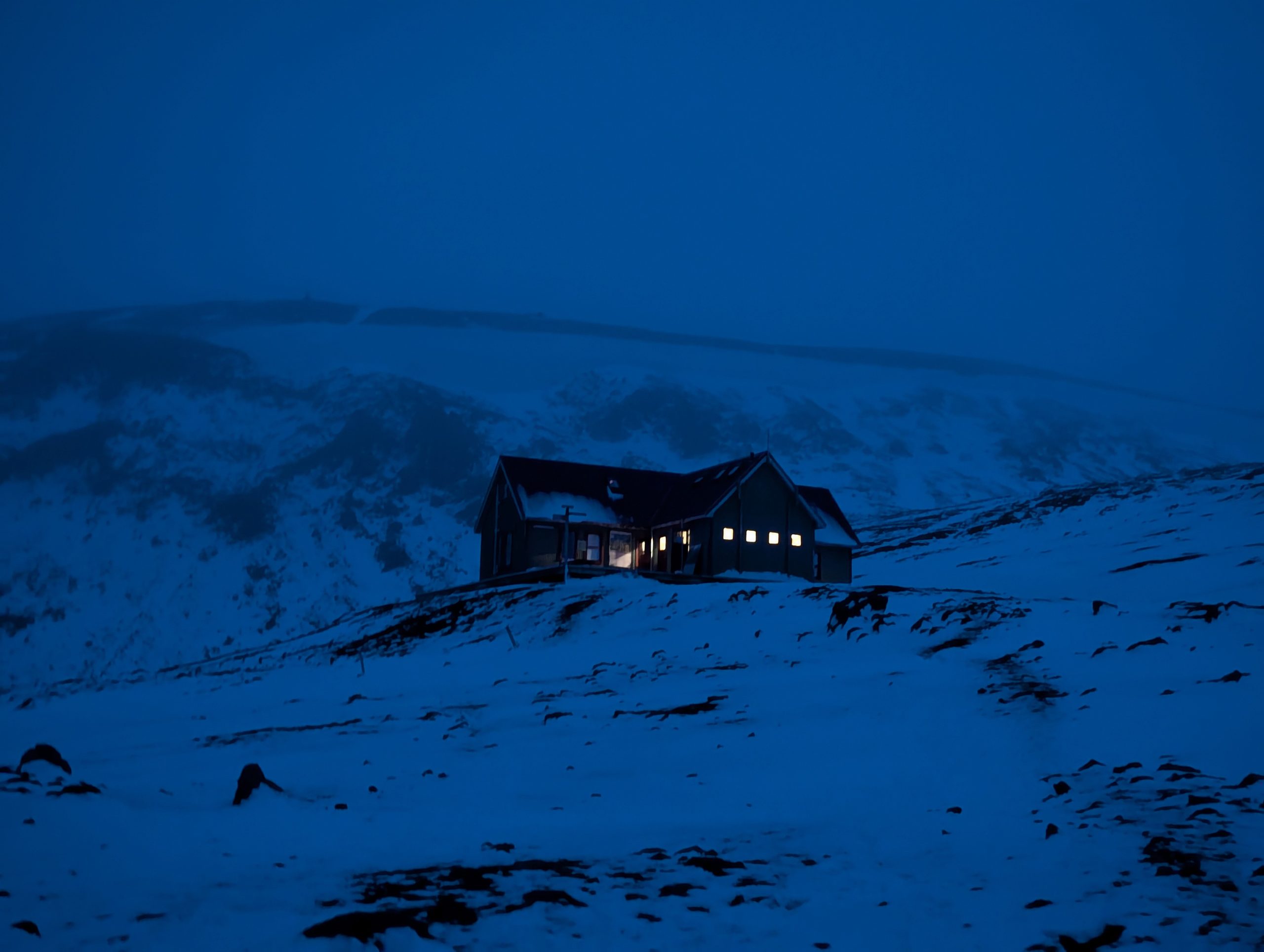
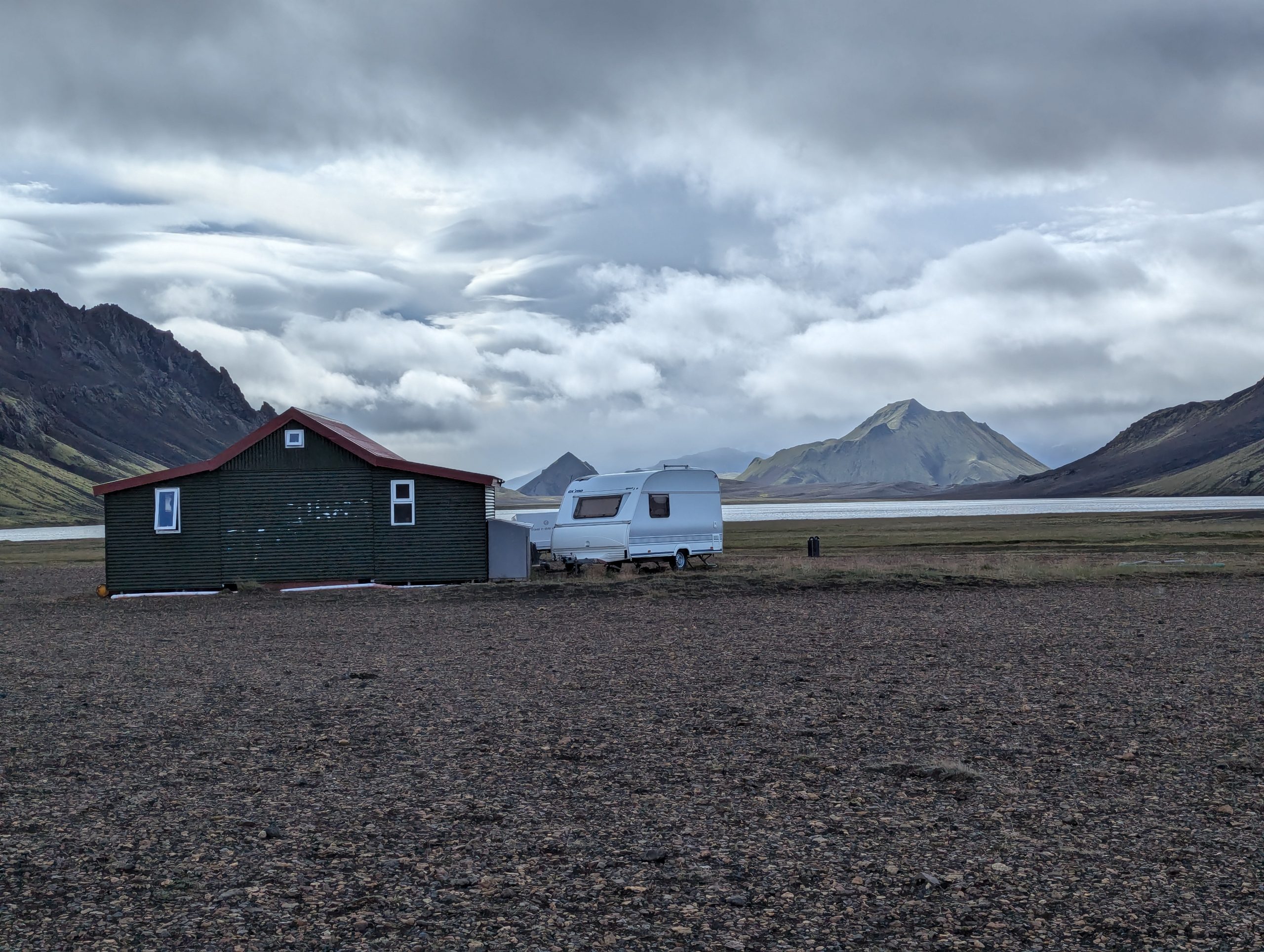
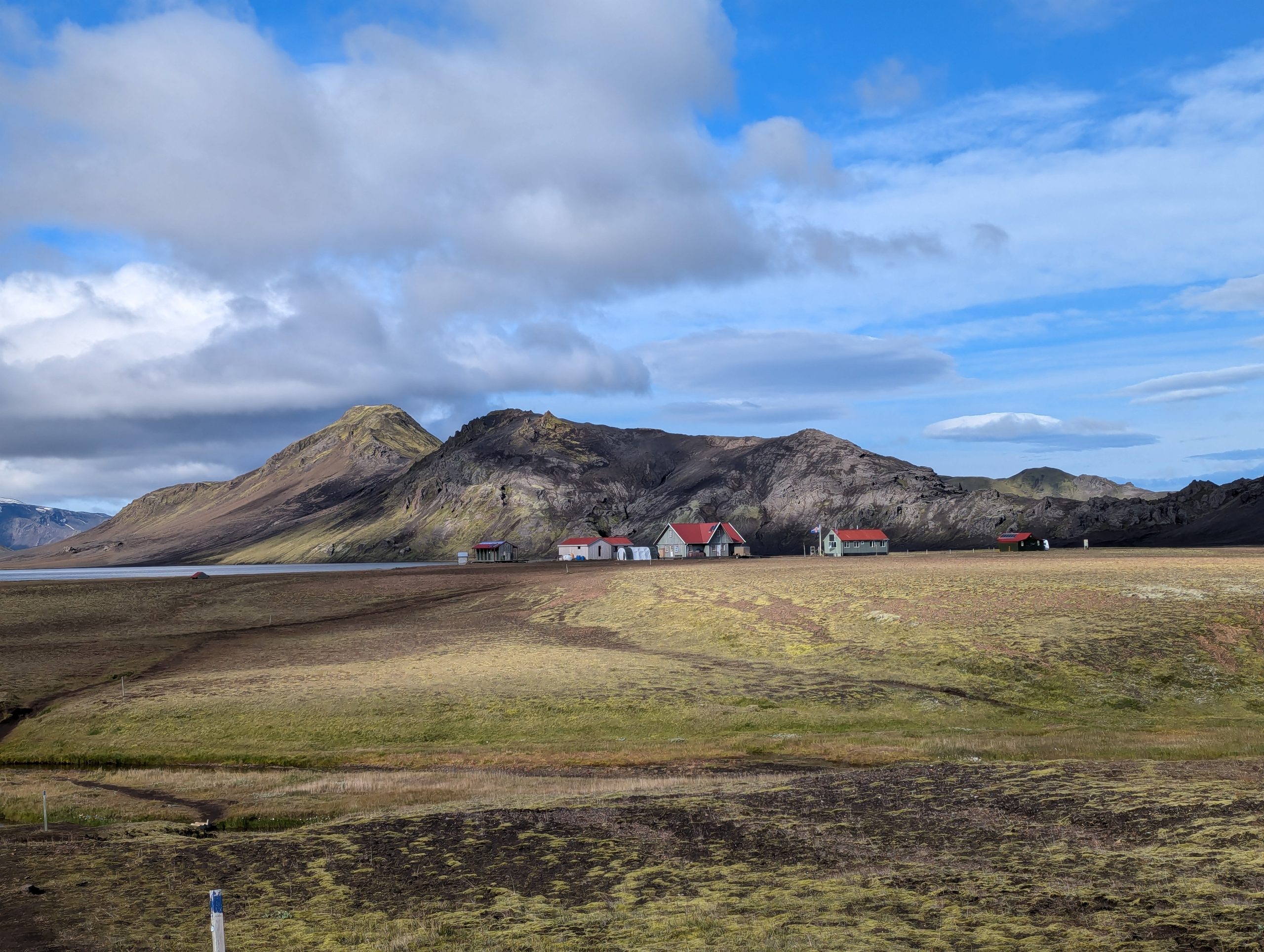
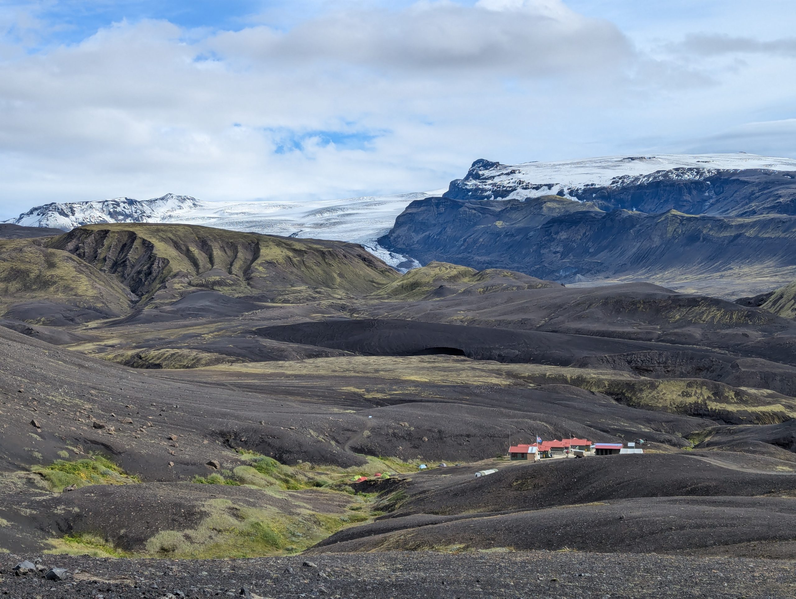
Camp 3 is hidden in a picturesque gorge among the mountains. There is, as in every camp, a minimum set of food, various drinks, including beer 😉 and necessarily gas.
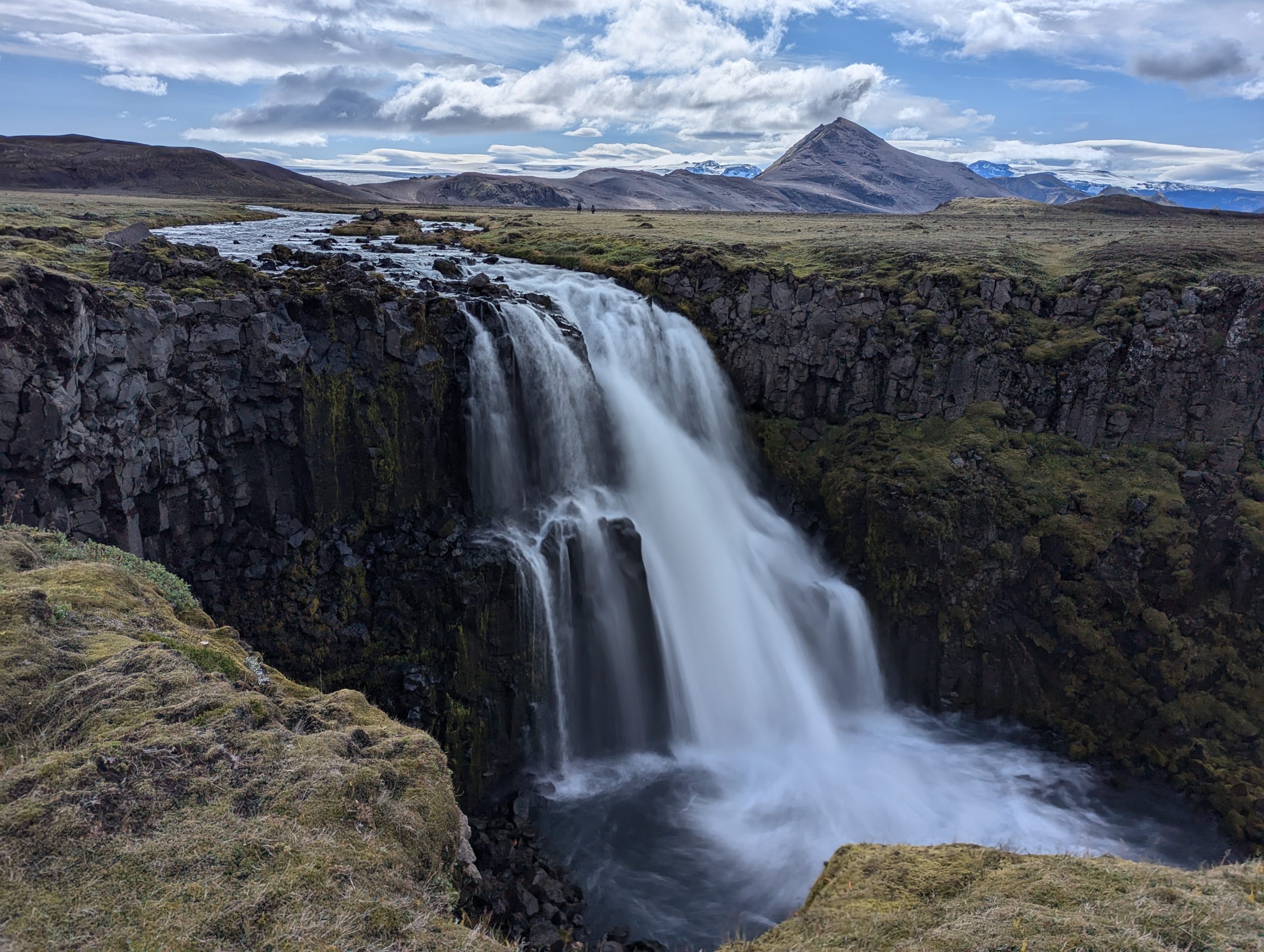
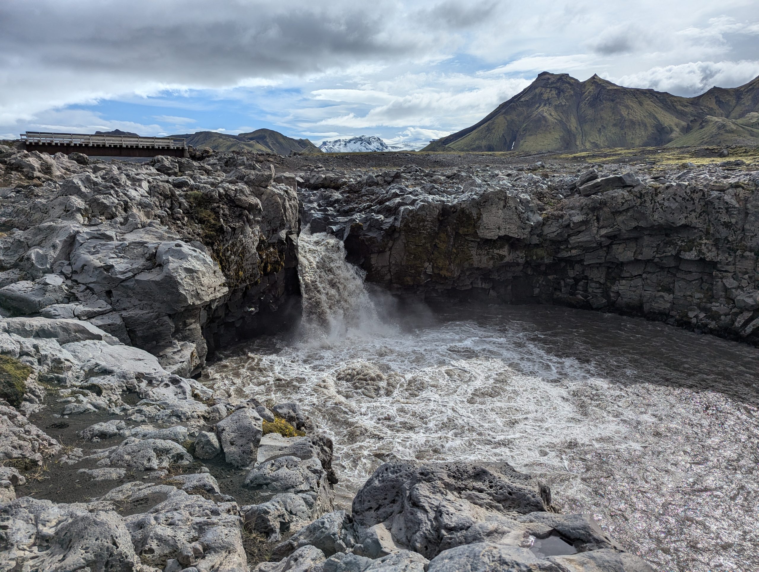
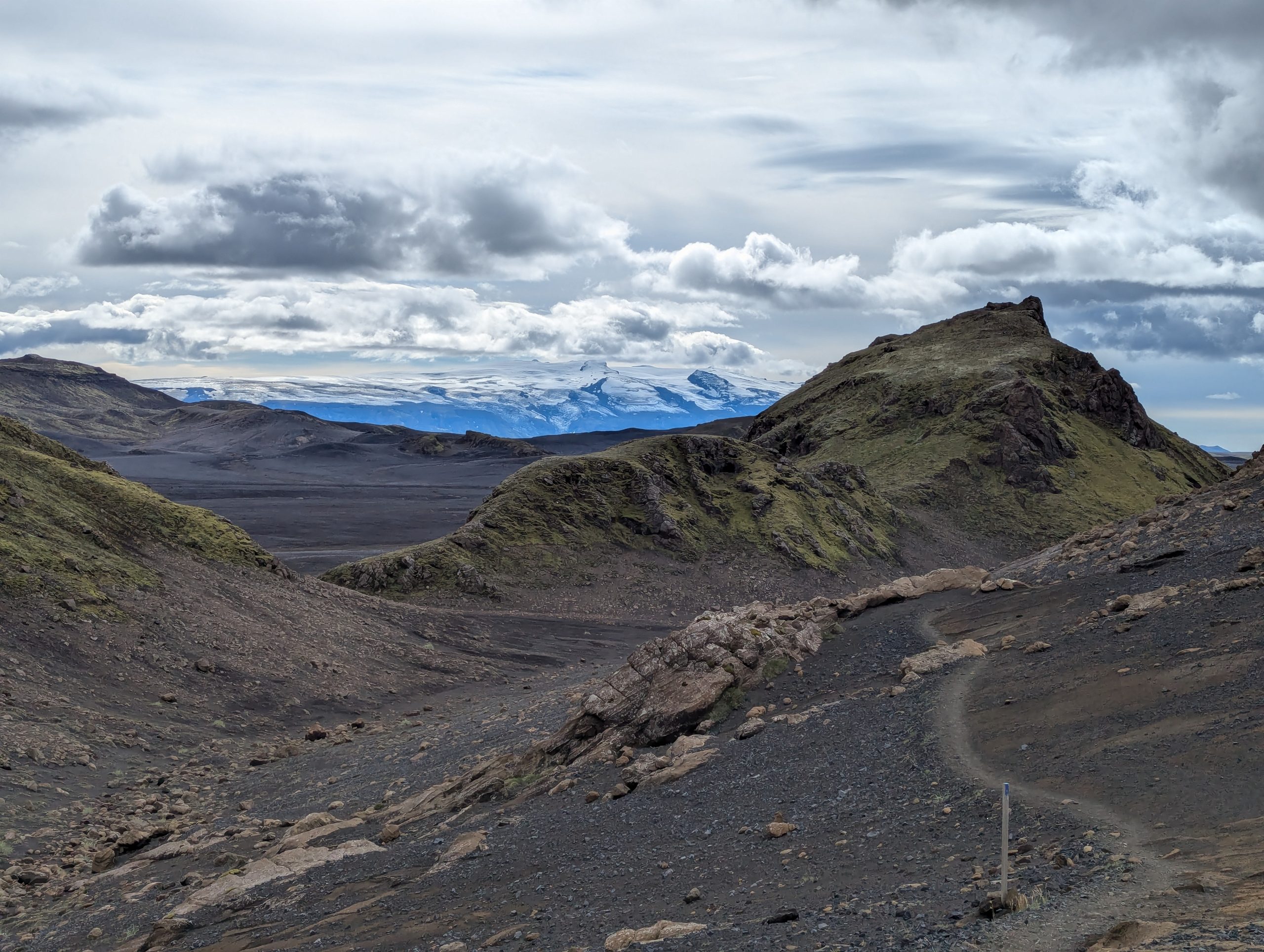
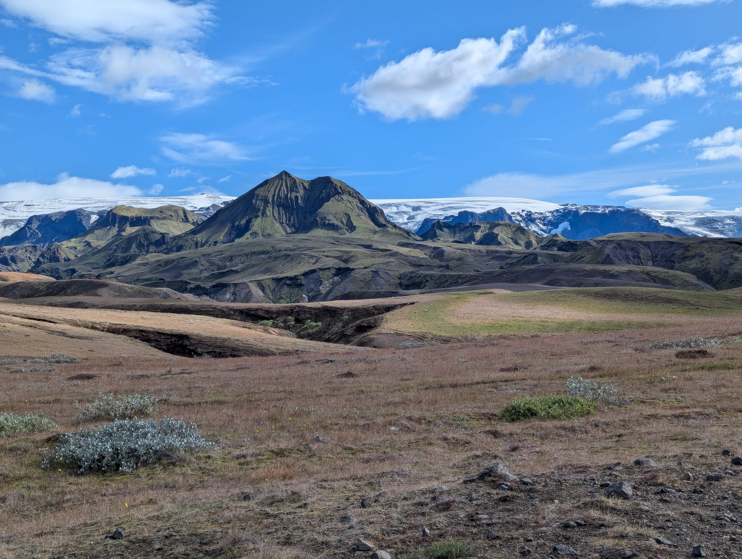
Day four and the final one. Perhaps the most diverse and most picturesque section of the route. Here you will find waterfalls, rivers, canyons, and pointed green (from moss) mountain peaks, standing alone among lava fields, and snow-capped mountain ranges and huge glaciers on the horizon… In general, all the beauty of Iceland in one section of the tourist route 🙂
Camp 4. This is probably the most beautiful and warmest mountain camp. A bus goes from here to Reykjavik and back, you can even stay here for a couple more days to walk the mountains and volcanoes in the vicinity and just admire the fabulous beauty.
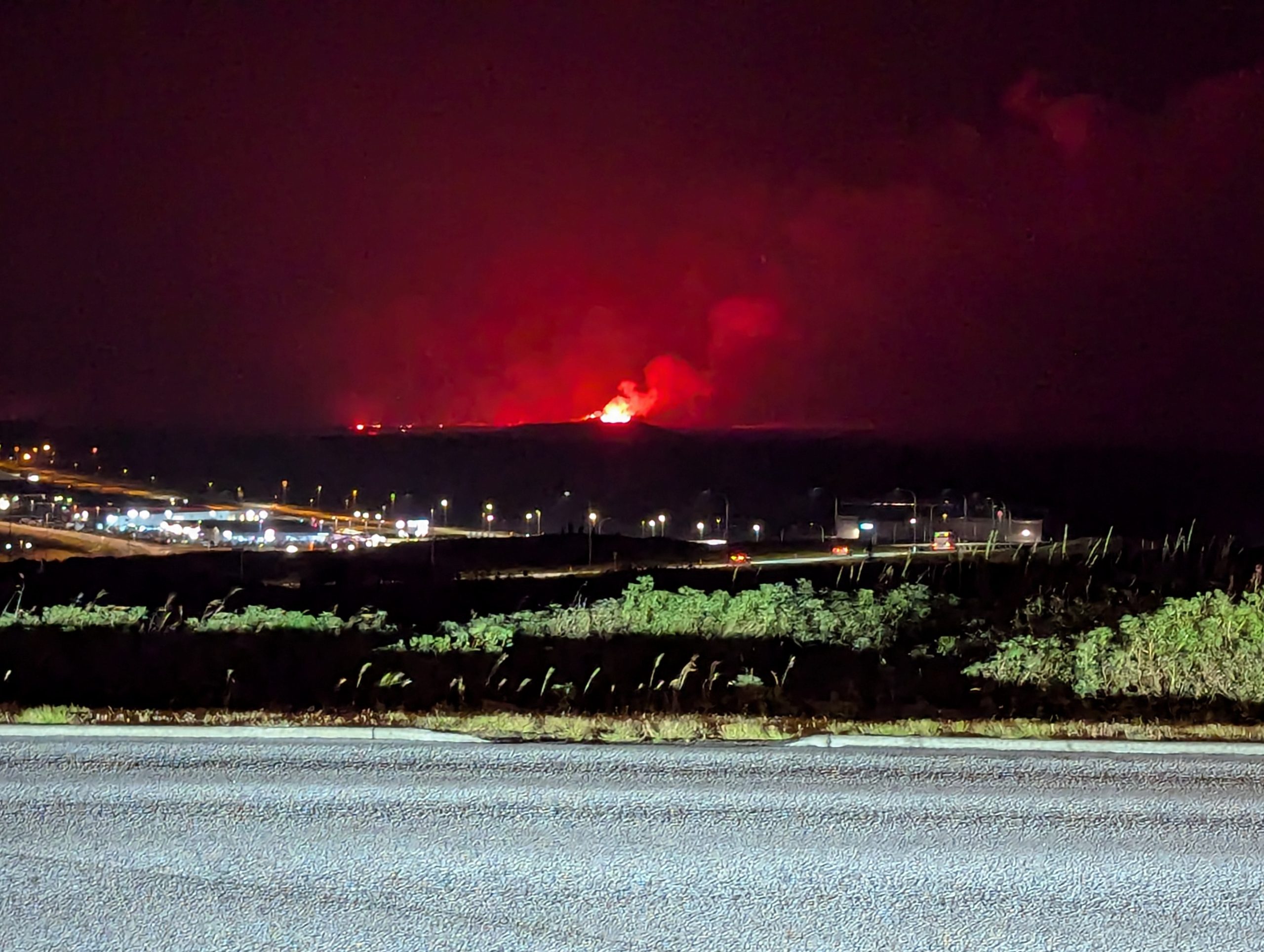
Our route was completed, albeit with some unexpected nuances. And at the end of the hike, I still managed to rent a hotel with a view of the volcano erupting nearby :)
This route is worth returning to!
Description and photo by: Tatyana Senchenko
Source: travelworld.biz